Transport Functions
Multimodal
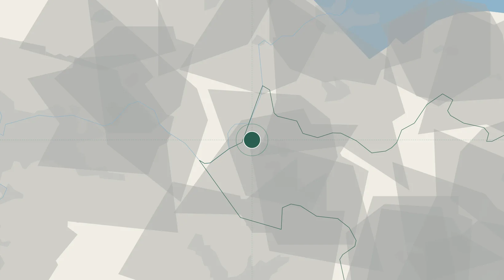
Hub Profile
Place type
Populated place
Region
Rhône-Alpes
Population
250
Time zone
Europe/Paris
Elevation
297 m
Location
Nearby Logistics Neighbours
Cities
- 1Lucey2 km
- 2Marignieu10 km
- 3Grésy-sur-Aix11 km
- 4Aix-les-Bains11 km
- 5Vognes11 km
Ports
- 1Nice255 km
- 2Villefranche256 km
- 3Monaco256 km
- 4Cannes261 km
- 5Antibes261 km
Airports
Trade Zones
DatabookThe Record of Consolidated Knowledge
France beyond logistics?