UN/LOCODE hub · France
FRHRI

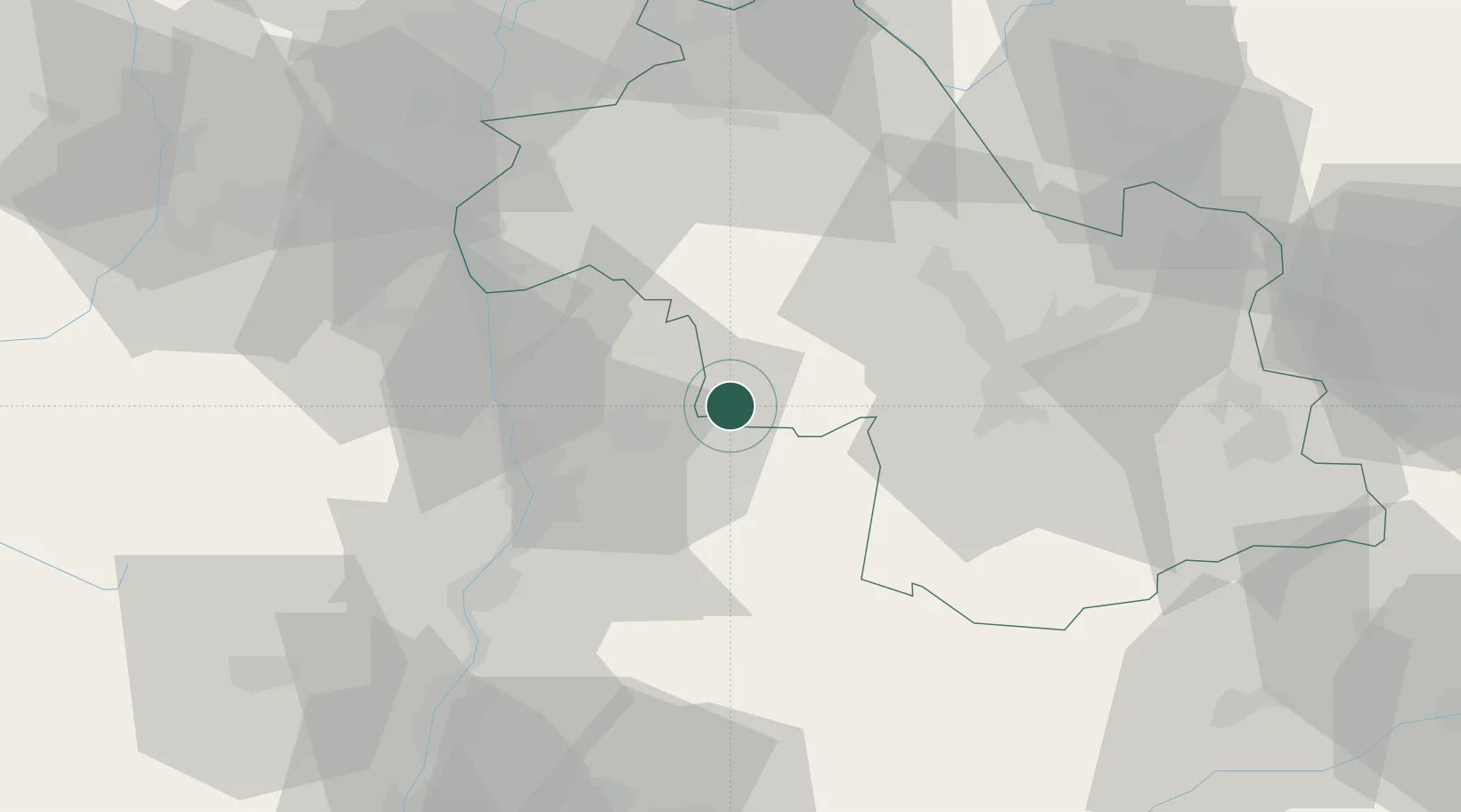
Saint-Hilaire-du-Rosier

45.1000°, 5.2333°
1,908
Population
3
Transport functions

Transport Functions

Rail
Road
Multimodal
UN/LOCODE

Hub Profile

Place type
Populated place
GeoNames
Region
Rhône-Alpes
GeoNames
Population
1,908
GeoNames
Time zone
Europe/Paris
GeoNames
Elevation
240 m
GeoNames

Location

Location of FRHRI
Natural Earth 10m (public domain) · Rhône-Alpes · FRHRI · 45.10, 5.23GoogleOSMYandex

Nearby Logistics Neighbours

Cities
  1. 1La Motte-Fanjas6 km
  2. 2Chatte7 km
  3. 3Chatillon-Saint-Jean8 km
  4. 4Jaillans8 km
  5. 5Margès15 km
Nearest neighbours — logibook spatial index (haversine) over the source coordinates
Ports
  1. 1Fos189 km
  2. 2Port-de-Bouc190 km
  3. 3Port Saint Louis Du Rhone194 km
  4. 4Marseille199 km
  5. 5Cannes223 km
Nearest neighbours — logibook spatial index (haversine) over the source coordinates
Airports
  1. 1Valence-Chabeuil Airport29 km
  2. 2Grenoble Alpes Isère Airport30 km
  3. 3Lyon Saint-Exupéry Airport71 km
  4. 4Lyon Bron Airport73 km
  5. 5Chambéry Aix les Bains airport78 km
Nearest neighbours — logibook spatial index (haversine) over the source coordinates
Trade Zones
  1. 1ZFU Valence36 km
  2. 2ZFU Grenoble36 km
  3. 3ZFU Vénissieux73 km
  4. 4ZFU Vaulx-en-Velin80 km
  5. 5ZFU Saint-Etienne82 km
Nearest neighbours — logibook spatial index (haversine) over the source coordinates
DatabookThe Record of Consolidated Knowledge
France beyond logistics?
Browse databook

All Sources

LocationsUN/LOCODE
UN/LOCODE — free
LocationsGeoNames
CC BY 4.0
Portsthe NGA World Port Index
Public domain (US gov)
AirportsOurAirports
Public domain
Trade Zonesthe World Bank SEZ database
CC BY 4.0
Trade ZonesOpen Zone Map
CC BY
← France locations