UN/LOCODE hub · France
FRCW8

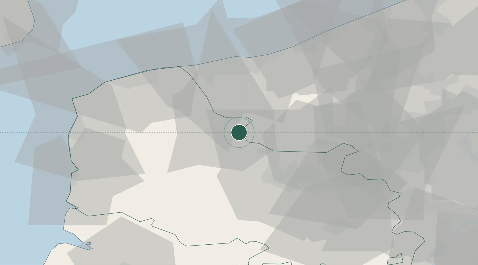
Campagne-lès-Wardrecques

50.7167°, 2.3333°
990
Population
2
Transport functions

Transport Functions

Road
Multimodal
UN/LOCODE

Hub Profile

Place type
Populated place
GeoNames
Region
Hauts-de-France
GeoNames
Population
990
GeoNames
Time zone
Europe/Paris
GeoNames
Elevation
28 m
GeoNames

Location

Location of FRCW8
Natural Earth 10m (public domain) · Hauts-de-France · FRCW8 · 50.72, 2.33GoogleOSMYandex

Nearby Logistics Neighbours

Cities
  1. 1Saint-Omer7 km
  2. 2Sercus8 km
  3. 3Lederzeele11 km
  4. 4Rubrouck13 km
  5. 5Isbergues14 km
Nearest neighbours — logibook spatial index (haversine) over the source coordinates
Ports
  1. 1Gravelines35 km
  2. 2Dunkerque Port Est39 km
  3. 3Calais44 km
  4. 4Boulogne-Sur-Mer52 km
  5. 5Nieuwpoort55 km
Nearest neighbours — logibook spatial index (haversine) over the source coordinates
Airports
  1. 1Merville-Calonne Airport24 km
  2. 2Calais Marck Airport38 km
  3. 3Koksijde Air Base47 km
  4. 4Le Touquet-Côte d'Opale Airport55 km
  5. 5Lille Airport57 km
Nearest neighbours — logibook spatial index (haversine) over the source coordinates
Trade Zones
  1. 1ZFU Saint Pol sur Mer35 km
  2. 2ZFU Calais44 km
  3. 3ZFU de Lille et de Loos49 km
  4. 4ZFU Hénin-Beaumont, Montigny-en-Gohelle, Courrières, Rouvroy, Drocourt, Dourges51 km
  5. 5ZFU Tourcoing58 km
Nearest neighbours — logibook spatial index (haversine) over the source coordinates
DatabookThe Record of Consolidated Knowledge
France beyond logistics?
Browse databook

All Sources

LocationsUN/LOCODE
UN/LOCODE — free
LocationsGeoNames
CC BY 4.0
Portsthe NGA World Port Index
Public domain (US gov)
AirportsOurAirports
Public domain
Trade Zonesthe World Bank SEZ database
CC BY 4.0
Trade ZonesOpen Zone Map
CC BY
← France locations