Transport Functions
Multimodal
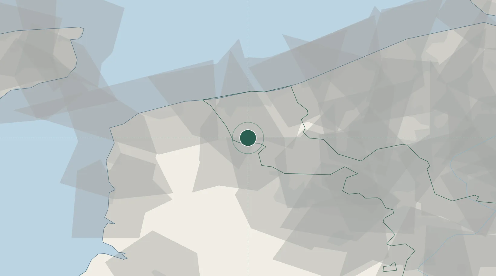
Hub Profile
Place type
Populated place
Region
Hauts-de-France
Population
581
Time zone
Europe/Paris
Elevation
29 m
Location
Nearby Logistics Neighbours
Cities
- 1Rubrouck4 km
- 2Millam5 km
- 3Watten6 km
- 4Saint-Omer8 km
- 5Moulle10 km
Ports
- 1Gravelines24 km
- 2Dunkerque Port Est28 km
- 3Calais36 km
- 4Nieuwpoort47 km
- 5Boulogne-Sur-Mer50 km
Airports
Trade Zones
DatabookThe Record of Consolidated Knowledge
France beyond logistics?