Transport Functions
Port
Road
Hub Profile
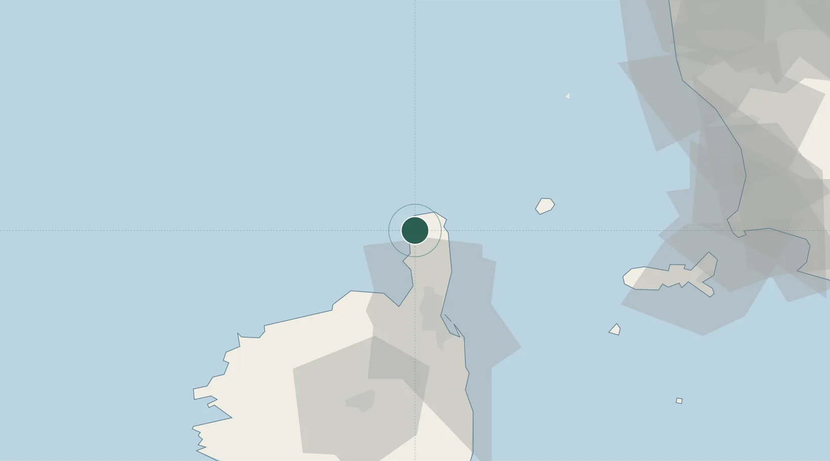
Place type
Populated place
Region
Corsica
Population
214
Time zone
Europe/Paris
Elevation
5 m
Location
Nearby Logistics Neighbours
Cities
- 1Bastia29 km
- 2Patrimonio30 km
- 3Barbaggio30 km
- 4Furiani34 km
- 5Capraia41 km
Ports
- 1Bastia29 km
- 2L'ile Rousse49 km
- 3Calvi65 km
- 4Portoferraio82 km
- 5Portovecchio Di Piombino98 km
Airports
Trade Zones
- 1ZFU LAriane189 km
- 2Sardinia Special Economic Zone Area264 km
- 3ZFU Toulon278 km
- 4ZFU La Seyne-sur-Mer285 km
- 5Magazzini Generali Con Chiasso324 km
DatabookThe Record of Consolidated Knowledge
France beyond logistics?