Transport Functions
Rail
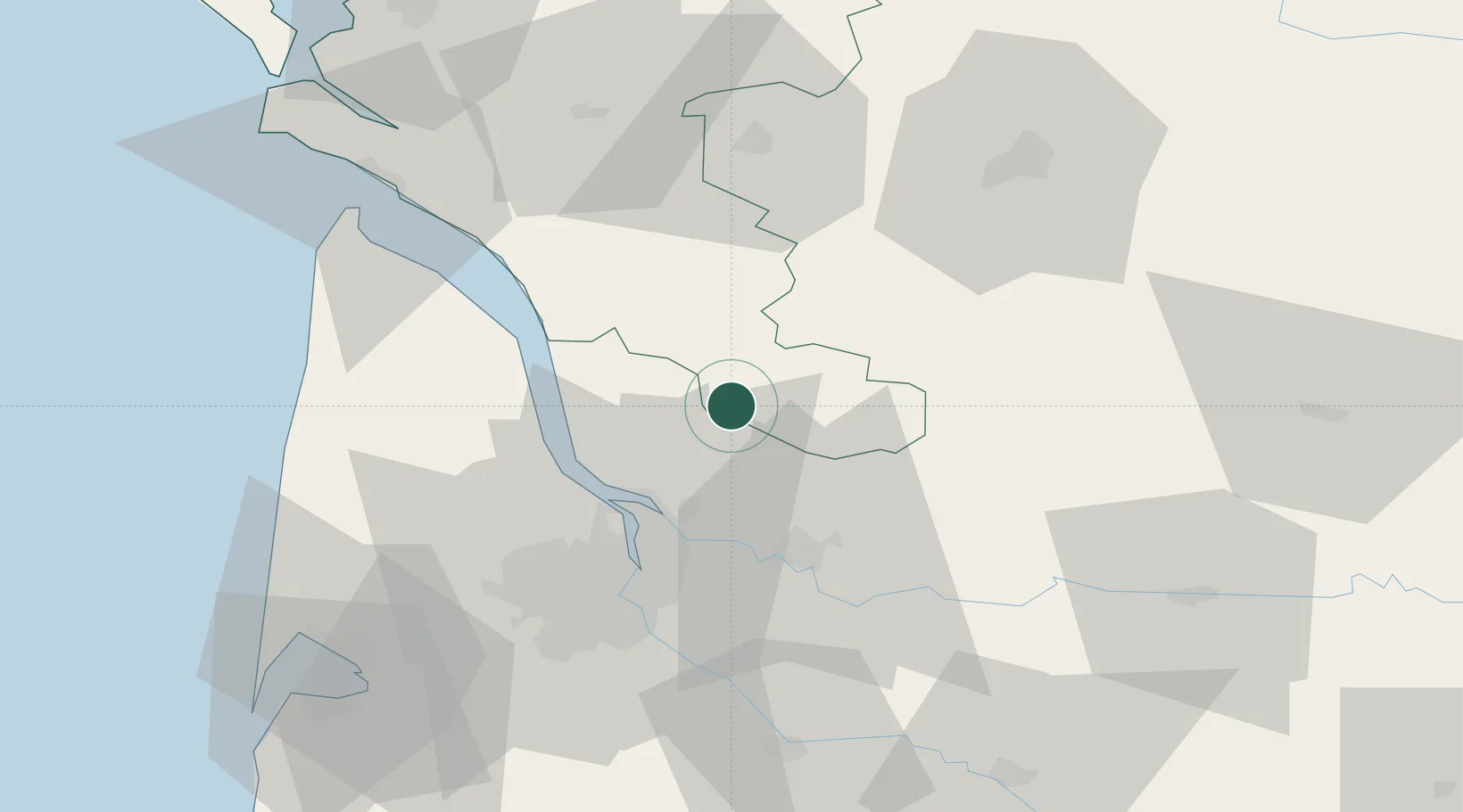
Hub Profile
Place type
Populated place
Region
Nouvelle-Aquitaine
Population
933
Time zone
Europe/Paris
Elevation
63 m
Location
Nearby Logistics Neighbours
Cities
- 1Saint-Savin-de-Blay9 km
- 2Bedenac9 km
- 3Saint-Savin9 km
- 4Montlieu-la-Garde10 km
- 5Saint-Mariens10 km
Airports
Trade Zones
- 1Port de Bordeaux35 km
- 2ZFU Hauts de Garonne44 km
- 3ZFU La Rochelle126 km
- 4ZFU Toulouse228 km
- 5Depósito Franco de Pasajes (Guipúzcoa)243 km
DatabookThe Record of Consolidated Knowledge
France beyond logistics?