UN/LOCODE hub · France
FRTL8
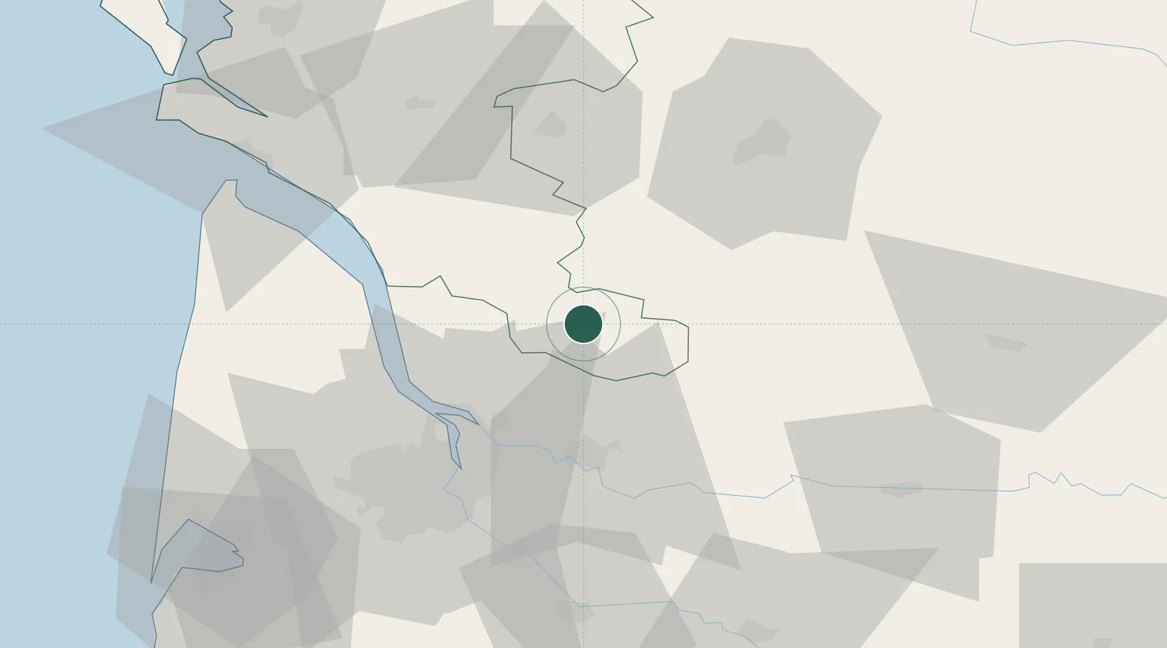
Montlieu-la-Garde
45.2333°, -0.2500°
1,365
Population
1
Transport functions
Transport Functions
Multimodal
Hub Profile
Place type
Populated place
Region
Nouvelle-Aquitaine
Population
1,365
Time zone
Europe/Paris
Elevation
117 m
Location
Nearby Logistics Neighbours
Cities
- 1Bedenac10 km
- 2Bussac-Forêt10 km
- 3Maransin17 km
- 4Cavignac18 km
- 5Saint-Savin18 km
Airports
Trade Zones
- 1Port de Bordeaux42 km
- 2ZFU Hauts de Garonne52 km
- 3ZFU La Rochelle127 km
- 4ZFU Toulouse226 km
- 5ZFU Nantes et Saint-Herblain248 km
DatabookThe Record of Consolidated Knowledge
France beyond logistics?