UN/LOCODE hub · France
FRCFG

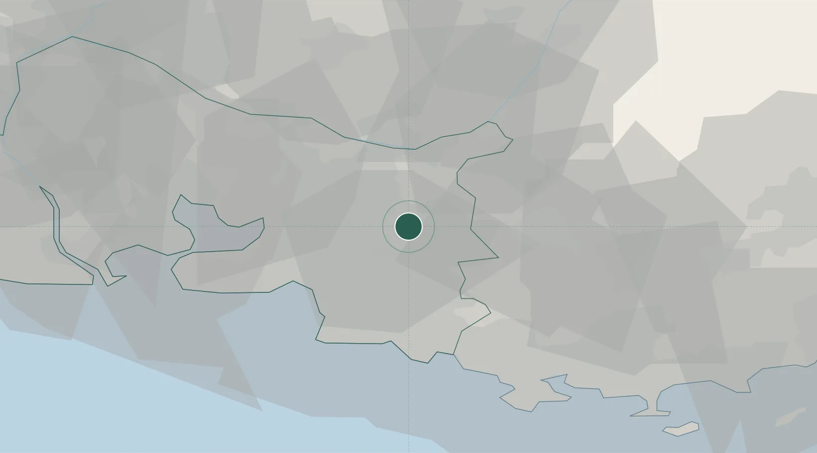
Châteauneuf-le-Rouge

43.4833°, 5.5667°
2,114
Population
3
Transport functions

Transport Functions

Port
Road
Multimodal
UN/LOCODE

Hub Profile

Place type
Populated place
GeoNames
Region
Provence-Alpes-Côte d'Azur
GeoNames
Population
2,114
GeoNames
Time zone
Europe/Paris
GeoNames
Elevation
230 m
GeoNames

Location

Location of FRCFG
Natural Earth 10m (public domain) · Provence-Alpes-Côte d'Azur · FRCFG · 43.48, 5.57GoogleOSMYandex

Nearby Logistics Neighbours

Cities
  1. 1Vauvenargues8 km
  2. 2Mimet9 km
  3. 3Puyloubier10 km
  4. 4Trets11 km
  5. 5Luynes12 km
Nearest neighbours — logibook spatial index (haversine) over the source coordinates
Ports
  1. 1Marseille25 km
  2. 2Port-de-Bouc48 km
  3. 3Toulon51 km
  4. 4Fos56 km
  5. 5Port Saint Louis Du Rhone62 km
Nearest neighbours — logibook spatial index (haversine) over the source coordinates
Airports
  1. 1Marseille Provence Airport29 km
  2. 2Le Castellet Airport31 km
  3. 3Salon-de-Provence (BA 701) Air Base39 km
  4. 4Istres-Le Tubé Air Base52 km
  5. 5Toulon-Hyères Airport64 km
Nearest neighbours — logibook spatial index (haversine) over the source coordinates
Trade Zones
  1. 1ZFU Marseille 15e et 16e23 km
  2. 2ZFU Saint-Barthélémy, Le Canet, Delorme-Paternelle35 km
  3. 3ZFU La Seyne-sur-Mer50 km
  4. 4ZFU Toulon50 km
  5. 5ZFU Avignon80 km
Nearest neighbours — logibook spatial index (haversine) over the source coordinates
DatabookThe Record of Consolidated Knowledge
France beyond logistics?
Browse databook

All Sources

LocationsUN/LOCODE
UN/LOCODE — free
LocationsGeoNames
CC BY 4.0
Portsthe NGA World Port Index
Public domain (US gov)
AirportsOurAirports
Public domain
Trade Zonesthe World Bank SEZ database
CC BY 4.0
Trade ZonesOpen Zone Map
CC BY
← France locations