UN/LOCODE hub · France
FR7ET

Eteaux

43.0667°, 6.2833°
1
Transport functions

Transport Functions

Multimodal
UN/LOCODE

Hub Profile

Region
74
GeoNames

Location

Location of FR7ET
Natural Earth 10m (public domain) · 74 · FR7ET · 43.07, 6.28GoogleOSMYandex

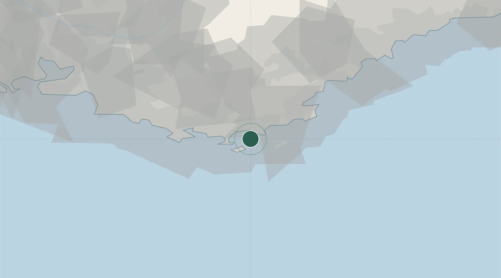
Nearby Logistics Neighbours

Cities
  1. 1Porquerolles10 km
  2. 2Hyères15 km
  3. 3La Moutonne19 km
  4. 4Collobrières19 km
  5. 5La Crau20 km
Nearest neighbours — logibook spatial index (haversine) over the source coordinates
Ports
  1. 1Toulon30 km
  2. 2Saint-Tropez36 km
  3. 3Saint-Raphael55 km
  4. 4Marseille79 km
  5. 5Cannes80 km
Nearest neighbours — logibook spatial index (haversine) over the source coordinates
Airports
  1. 1Toulon-Hyères Airport12 km
  2. 2La Môle Airport22 km
  3. 3Le Luc-Le Cannet Airfield36 km
  4. 4Le Castellet Airport45 km
  5. 5Cannes Mandelieu Airport76 km
Nearest neighbours — logibook spatial index (haversine) over the source coordinates
Trade Zones
  1. 1ZFU Toulon29 km
  2. 2ZFU La Seyne-sur-Mer36 km
  3. 3ZFU Marseille 15e et 16e80 km
  4. 4ZFU Saint-Barthélémy, Le Canet, Delorme-Paternelle88 km
  5. 5ZFU LAriane111 km
Nearest neighbours — logibook spatial index (haversine) over the source coordinates
DatabookThe Record of Consolidated Knowledge
France beyond logistics?
Browse databook

All Sources

LocationsUN/LOCODE
UN/LOCODE — free
Portsthe NGA World Port Index
Public domain (US gov)
AirportsOurAirports
Public domain
Trade Zonesthe World Bank SEZ database
CC BY 4.0
Trade ZonesOpen Zone Map
CC BY
← France locations