Transport Functions
Multimodal
Hub Profile
Place type
Urban district
Region
Provence-Alpes-Côte d'Azur
Time zone
Europe/Paris
Elevation
149 m
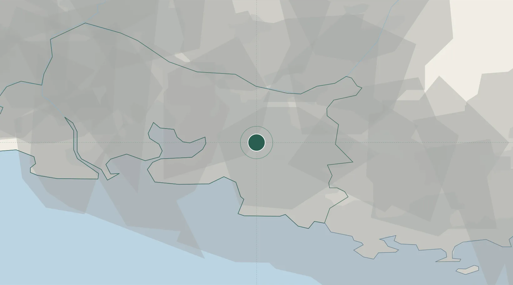
Location
Nearby Logistics Neighbours
Cities
- 1Aix-en-Provence6 km
- 2Simiane-Collongue8 km
- 3Mimet10 km
- 4Châteauneuf-le-Rouge12 km
- 5Rognac15 km
Ports
- 1Marseille19 km
- 2Port-de-Bouc36 km
- 3Fos44 km
- 4Port Saint Louis Du Rhone50 km
- 5Toulon59 km
Airports
Trade Zones
- 1ZFU Marseille 15e et 16e17 km
- 2ZFU Saint-Barthélémy, Le Canet, Delorme-Paternelle27 km
- 3ZFU La Seyne-sur-Mer56 km
- 4ZFU Toulon58 km
- 5ZFU Avignon72 km
DatabookThe Record of Consolidated Knowledge
France beyond logistics?