UN/LOCODE hub · France
FRQXB
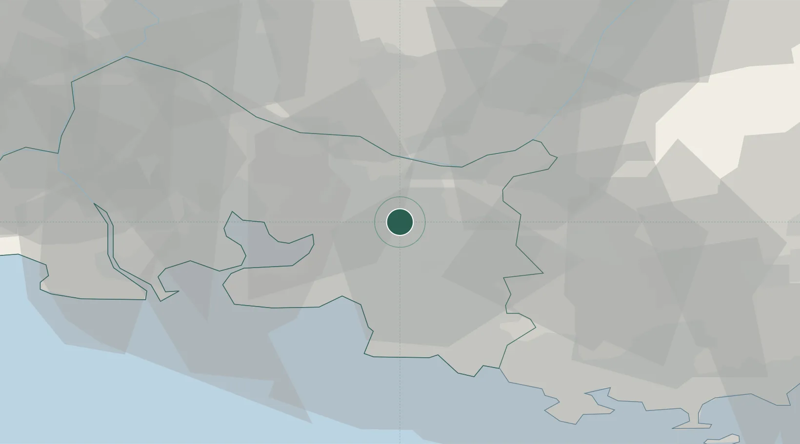
Aix-en-Provence
43.5333°, 5.4333°
146,821
Population
2
Transport functions
Transport Functions
Rail
Airport
Hub Profile
Place type
District seat
Region
Provence-Alpes-Côte d'Azur
Population
146,821
Time zone
Europe/Paris
Elevation
205 m
Location
Nearby Logistics Neighbours
Cities
- 1Luynes6 km
- 2Châteauneuf-le-Rouge12 km
- 3Simiane-Collongue13 km
- 4Vauvenargues14 km
- 5Meyrargues14 km
Ports
- 1Marseille25 km
- 2Port-de-Bouc39 km
- 3Fos46 km
- 4Port Saint Louis Du Rhone53 km
- 5Toulon62 km
Airports
Trade Zones
- 1ZFU Marseille 15e et 16e23 km
- 2ZFU Saint-Barthélémy, Le Canet, Delorme-Paternelle32 km
- 3ZFU La Seyne-sur-Mer60 km
- 4ZFU Toulon61 km
- 5ZFU Avignon69 km
DatabookThe Record of Consolidated Knowledge
France beyond logistics?