UN/LOCODE hub · Spain
ESZNG

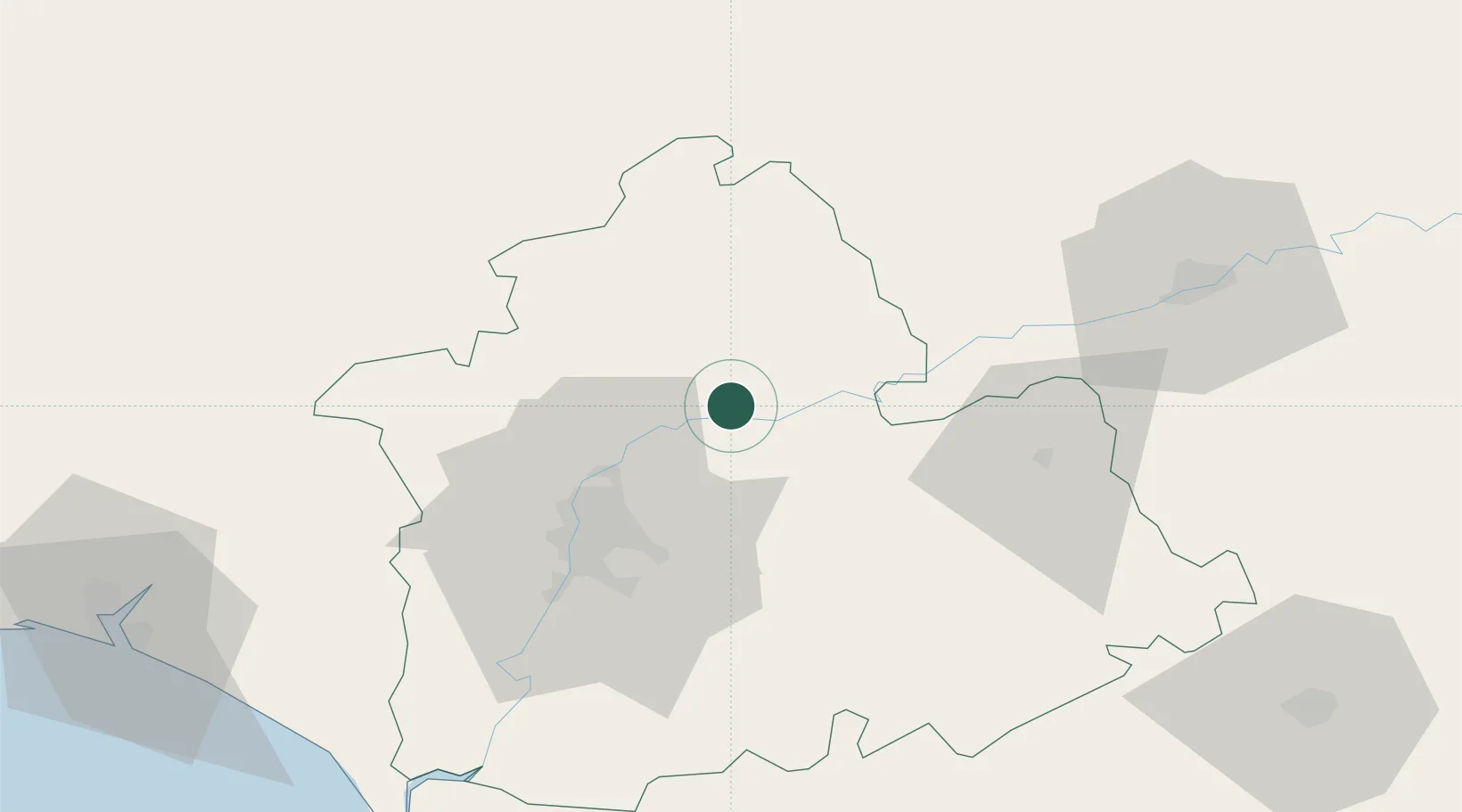
Villanueva del Rio y Minas

37.6500°, -5.7000°
5,213
Population
1
Transport functions

Transport Functions

Multimodal
UN/LOCODE

Hub Profile

Place type
District seat
GeoNames
Region
Andalusia
GeoNames
Population
5,213
GeoNames
Time zone
Europe/Madrid
GeoNames
Elevation
67 m
GeoNames

Location

Location of ESZNG
Natural Earth 10m (public domain) · Andalusia · ESZNG · 37.65, -5.70GoogleOSMYandex

Nearby Logistics Neighbours

Cities
  1. 1Los Rosales8 km
  2. 2Villaverde del Rio16 km
  3. 3Burguillos25 km
  4. 4Alcala del Rio28 km
  5. 5Sevilla40 km
Nearest neighbours — logibook spatial index (haversine) over the source coordinates
Ports
  1. 1Sevilla41 km
  2. 2Huelva119 km
  3. 3Rota128 km
  4. 4Cadiz135 km
  5. 5Malaga154 km
Nearest neighbours — logibook spatial index (haversine) over the source coordinates
Airports
  1. 1Seville Airport31 km
  2. 2Moron Air Base53 km
  3. 3Madroñalejos Forest Fire fighting Heliport54 km
  4. 4Córdoba Airport78 km
  5. 5Tomás Fernández Espada Airfield87 km
Nearest neighbours — logibook spatial index (haversine) over the source coordinates
Trade Zones
  1. 1Zona Franca de Sevilla44 km
  2. 2Puerto de Huelva119 km
  3. 3Depósito Franco de Málaga124 km
  4. 4Zona Franca de Cádiz137 km
  5. 5Depósito Franco de Algeciras171 km
Nearest neighbours — logibook spatial index (haversine) over the source coordinates
DatabookThe Record of Consolidated Knowledge
Spain beyond logistics?
Browse databook

All Sources

LocationsUN/LOCODE
UN/LOCODE — free
LocationsGeoNames
CC BY 4.0
Portsthe NGA World Port Index
Public domain (US gov)
AirportsOurAirports
Public domain
Trade Zonesthe World Bank SEZ database
CC BY 4.0
Trade ZonesOpen Zone Map
CC BY
← Spain locations