Transport Functions
Multimodal
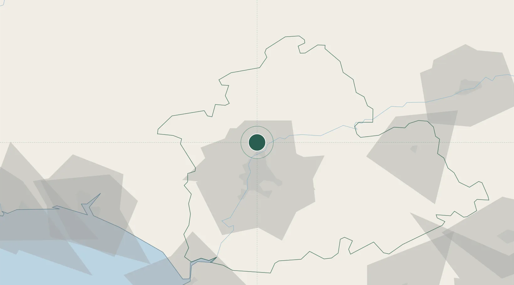
Hub Profile
Place type
District seat
Region
Andalusia
Population
4,116
Time zone
Europe/Madrid
Elevation
76 m
Location
Nearby Logistics Neighbours
Cities
- 1Alcala del Rio7 km
- 2Villaverde del Rio9 km
- 3Valencina de la Concepcion21 km
- 4Los Rosales22 km
- 5Sevilla24 km
Ports
- 1Sevilla24 km
- 2Huelva94 km
- 3Rota112 km
- 4Cadiz120 km
- 5Vila Real De S Antonio134 km
Airports
- 1Seville Airport20 km
- 2Madroñalejos Forest Fire fighting Heliport30 km
- 3Moron Air Base55 km
- 4Tomás Fernández Espada Airfield84 km
- 5Jerez Airport94 km
Trade Zones
- 1Zona Franca de Sevilla28 km
- 2Puerto de Huelva95 km
- 3Zona Franca de Cádiz123 km
- 4Depósito Franco de Málaga141 km
- 5Depósito Franco de Algeciras169 km
DatabookThe Record of Consolidated Knowledge
Spain beyond logistics?