UN/LOCODE hub · Spain
ESVL4
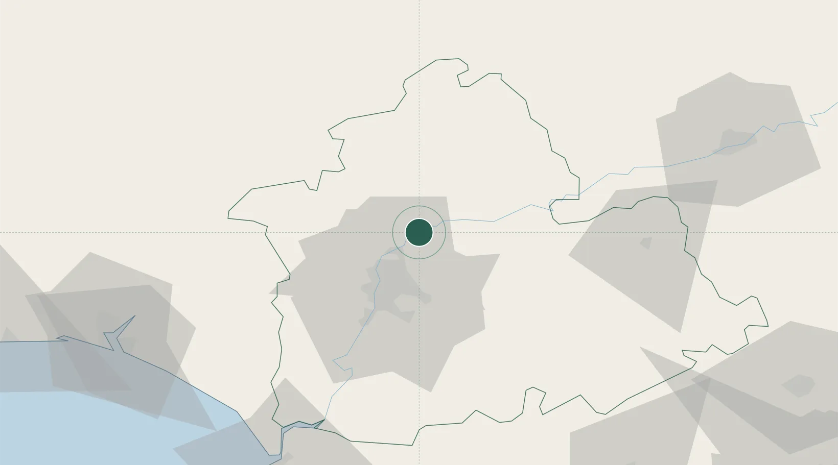
Villaverde del Rio
37.5833°, -5.8667°
6,703
Population
1
Transport functions
Transport Functions
Multimodal
Hub Profile
Place type
District seat
Region
Andalusia
Population
6,703
Time zone
Europe/Madrid
Elevation
19 m
Location
Nearby Logistics Neighbours
Cities
- 1Burguillos9 km
- 2Alcala del Rio12 km
- 3Los Rosales13 km
- 4Villanueva del Rio y Minas16 km
- 5Valencina de la Concepcion26 km
Ports
- 1Sevilla27 km
- 2Huelva103 km
- 3Rota115 km
- 4Cadiz123 km
- 5Vila Real De S Antonio143 km
Airports
- 1Seville Airport19 km
- 2Madroñalejos Forest Fire fighting Heliport38 km
- 3Moron Air Base51 km
- 4Tomás Fernández Espada Airfield81 km
- 5Córdoba Airport94 km
Trade Zones
- 1Zona Franca de Sevilla30 km
- 2Puerto de Huelva103 km
- 3Zona Franca de Cádiz125 km
- 4Depósito Franco de Málaga133 km
- 5Depósito Franco de Algeciras167 km
DatabookThe Record of Consolidated Knowledge
Spain beyond logistics?