Transport Functions
Multimodal
Hub Profile
Place type
Populated place
Region
Castille and León
Time zone
Europe/Madrid
Elevation
897 m
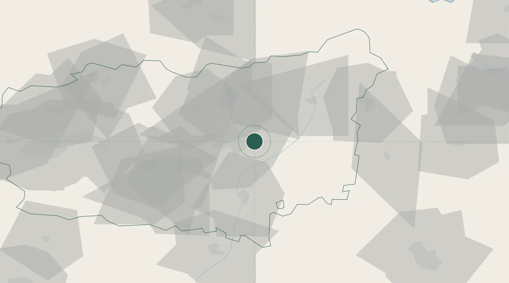
Location
Nearby Logistics Neighbours
Cities
- 1Villarrodrigo De Las Regueras6 km
- 2Trobajo del Cerecedo11 km
- 3Ardoncino20 km
- 4Vallecillo37 km
- 5Sahagún45 km
Ports
- 1Gijon105 km
- 2Aviles116 km
- 3Ribadeo163 km
- 4Santander166 km
- 5San Ciprian200 km
Airports
- 1León Int'l Airport16 km
- 2Valladolid Airport113 km
- 3Asturias Airport115 km
- 4Bragança Airport133 km
- 5Burgos Airport154 km
Trade Zones
- 1Depósito Franco de Gijón107 km
- 2Depósito Franco de Villafría (Burgos)145 km
- 3Zona Franca de Santander163 km
- 4Depósito Franco de Bilbao213 km
- 5Depósito Franco de La Coruña252 km
DatabookThe Record of Consolidated Knowledge
Spain beyond logistics?