Transport Functions
Rail
Road
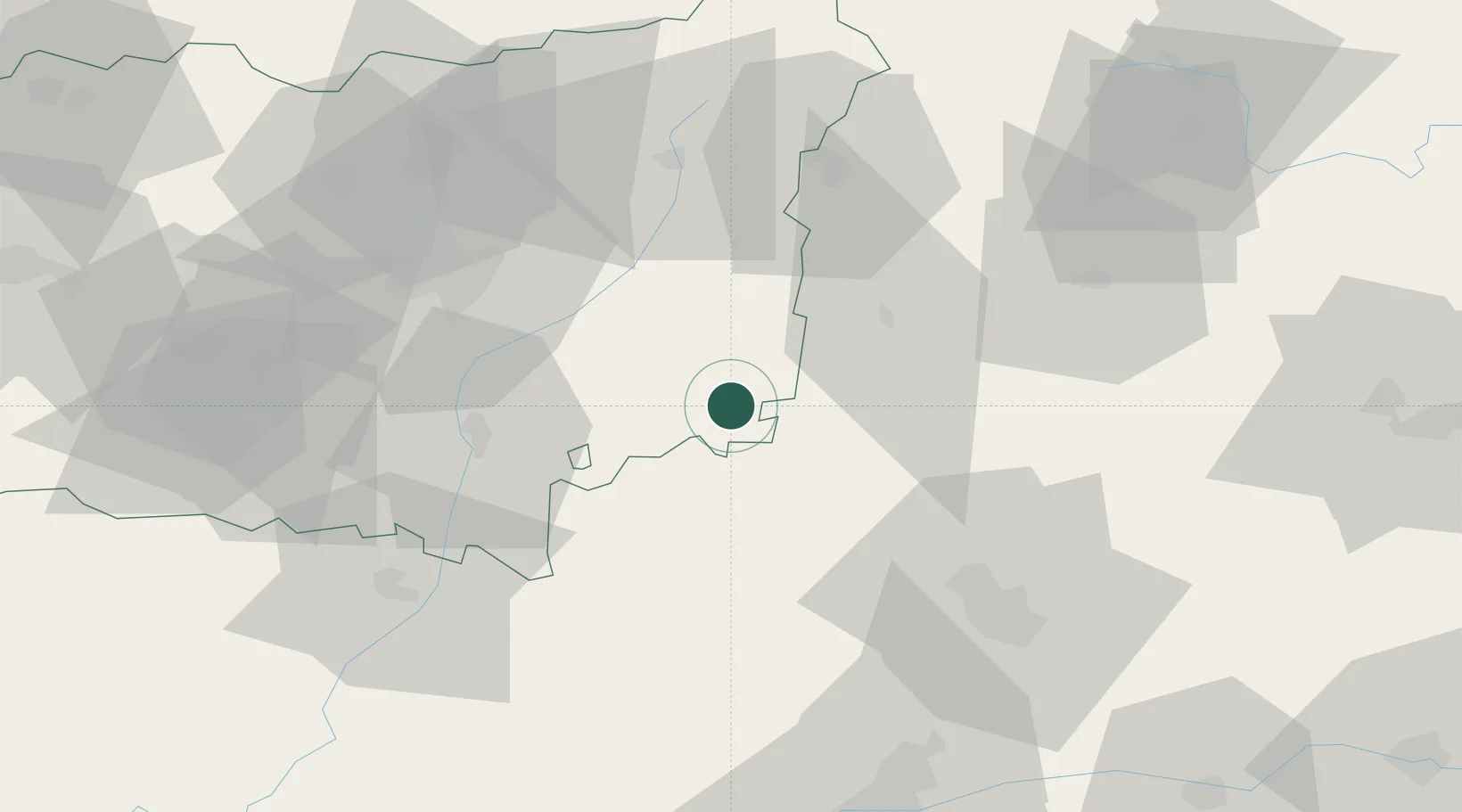
Hub Profile
Place type
District seat
Region
Castille and León
Population
2,517
Time zone
Europe/Madrid
Elevation
828 m
Location
Nearby Logistics Neighbours
Cities
- 1Vallecillo14 km
- 2Santervas De Campos18 km
- 3Cisneros23 km
- 4Villalón de Campos30 km
- 5Gordoncillo40 km
Ports
- 1Gijon141 km
- 2Aviles156 km
- 3Santander159 km
- 4Puerto De Bilbao195 km
- 5Ribadeo208 km
Airports
- 1León Int'l Airport57 km
- 2Valladolid Airport75 km
- 3Burgos Airport116 km
- 4Bragança Airport149 km
- 5Seve Ballesteros-Santander Airport154 km
Trade Zones
DatabookThe Record of Consolidated Knowledge
Spain beyond logistics?