Transport Functions
Multimodal
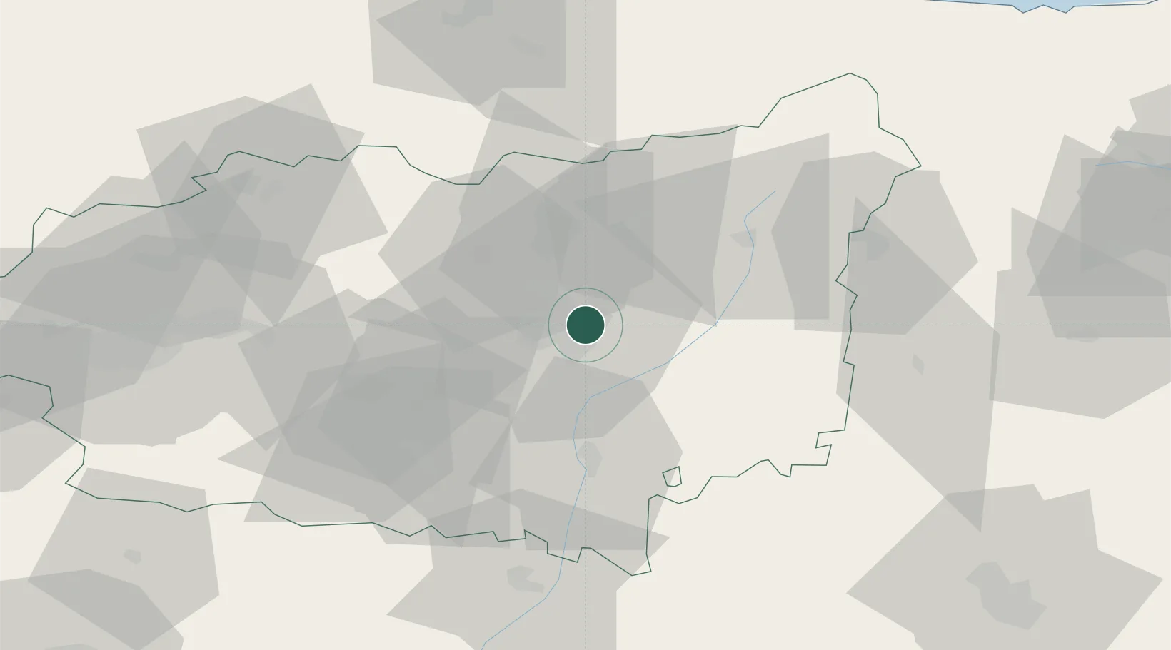
Hub Profile
Place type
Populated place
Region
Castille and León
Time zone
Europe/Madrid
Elevation
847 m
Location
Nearby Logistics Neighbours
Cities
- 1Villacil6 km
- 2Trobajo del Cerecedo9 km
- 3Ardoncino19 km
- 4Vallecillo42 km
- 5Astorga44 km
Ports
- 1Gijon103 km
- 2Aviles112 km
- 3Ribadeo158 km
- 4Santander170 km
- 5San Ciprian194 km
Airports
- 1León Int'l Airport11 km
- 2Asturias Airport111 km
- 3Valladolid Airport117 km
- 4Bragança Airport130 km
- 5Burgos Airport160 km
Trade Zones
- 1Depósito Franco de Gijón104 km
- 2Depósito Franco de Villafría (Burgos)151 km
- 3Zona Franca de Santander167 km
- 4Depósito Franco de Bilbao217 km
- 5Depósito Franco de La Coruña246 km
DatabookThe Record of Consolidated Knowledge
Spain beyond logistics?