Transport Functions
Port
Road
Hub Profile
Place type
Populated place
Region
Castille and León
Time zone
Europe/Madrid
Elevation
811 m
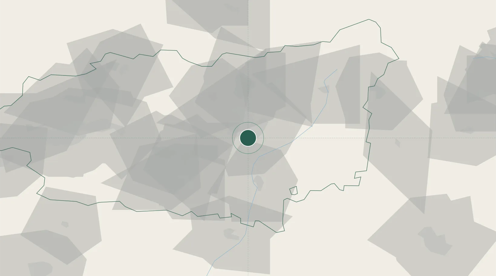
Location
Nearby Logistics Neighbours
Cities
- 1Villarrodrigo De Las Regueras9 km
- 2Ardoncino10 km
- 3Villacil11 km
- 4Soto de la Vega36 km
- 5Astorga37 km
Ports
- 1Gijon110 km
- 2Aviles118 km
- 3Ribadeo160 km
- 4Santander177 km
- 5San Ciprian196 km
Airports
- 1León Int'l Airport6 km
- 2Valladolid Airport113 km
- 3Asturias Airport117 km
- 4Bragança Airport122 km
- 5Burgos Airport163 km
Trade Zones
- 1Depósito Franco de Gijón111 km
- 2Depósito Franco de Villafría (Burgos)154 km
- 3Zona Franca de Santander174 km
- 4Depósito Franco de Bilbao224 km
- 5Depósito Franco de La Coruña245 km
DatabookThe Record of Consolidated Knowledge
Spain beyond logistics?