Transport Functions
Port
Road
Hub Profile
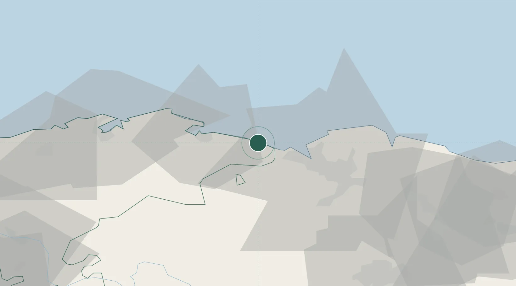
Place type
District seat
Region
Cantabria
Population
31,977
Time zone
Europe/Madrid
Elevation
18 m
Location
Nearby Logistics Neighbours
Ports
- 1Puerto De Bilbao14 km
- 2Bermeo41 km
- 3Santander47 km
- 4Puerto De Pasajes104 km
- 5Bayonne142 km
Airports
- 1Bilbao Airport26 km
- 2Seve Ballesteros-Santander Airport49 km
- 3Vitoria Airport69 km
- 4San Sebastián Airport115 km
- 5Burgos Airport119 km
Trade Zones
DatabookThe Record of Consolidated Knowledge
Spain beyond logistics?