Transport Functions
Multimodal
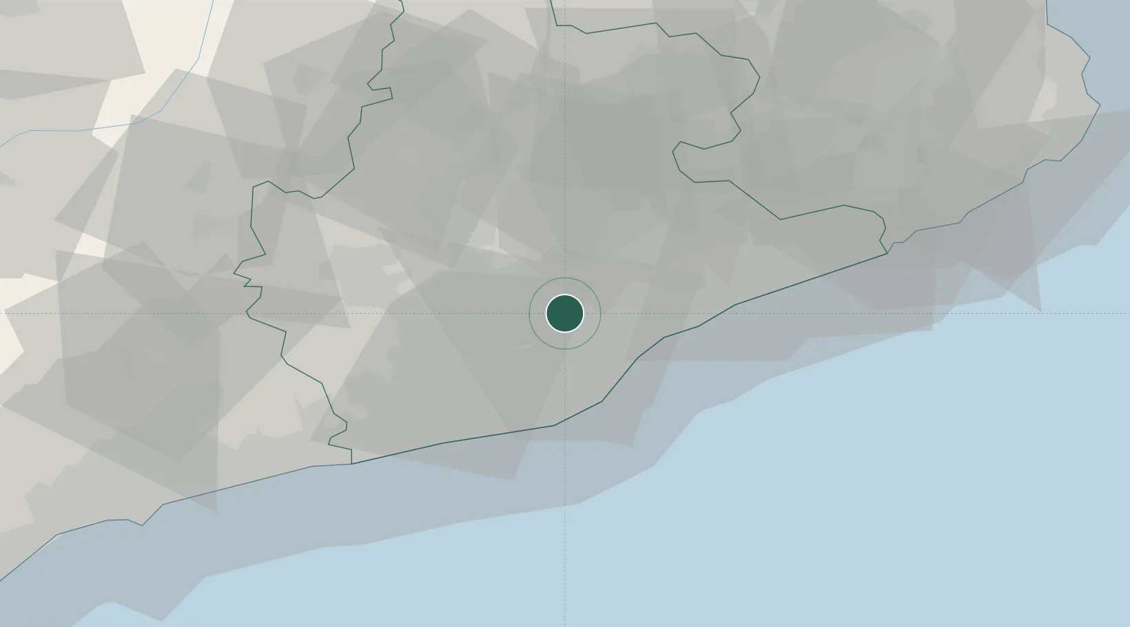
Location
Nearby Logistics Neighbours
Cities
- 1Cerdanyola del Vallès5 km
- 2Santa Perpètua de Mogoda9 km
- 3Sentmenat10 km
- 4Mollet del Vallès12 km
- 5Martorellas13 km
Ports
- 1Barcelona20 km
- 2Villanueva Y Geltru43 km
- 3San Feliu De Guixols84 km
- 4Tarragona85 km
- 5Palamos93 km
Airports
Trade Zones
- 1Zona Franca de Barcelona20 km
- 2Depósito Franco de Tarragona83 km
- 3ZFU Perpignan148 km
- 4ZFU Béziers223 km
- 5Depósito Franco de Zaragoza238 km
DatabookThe Record of Consolidated Knowledge
Spain beyond logistics?