UN/LOCODE hub · Spain
ESSPM

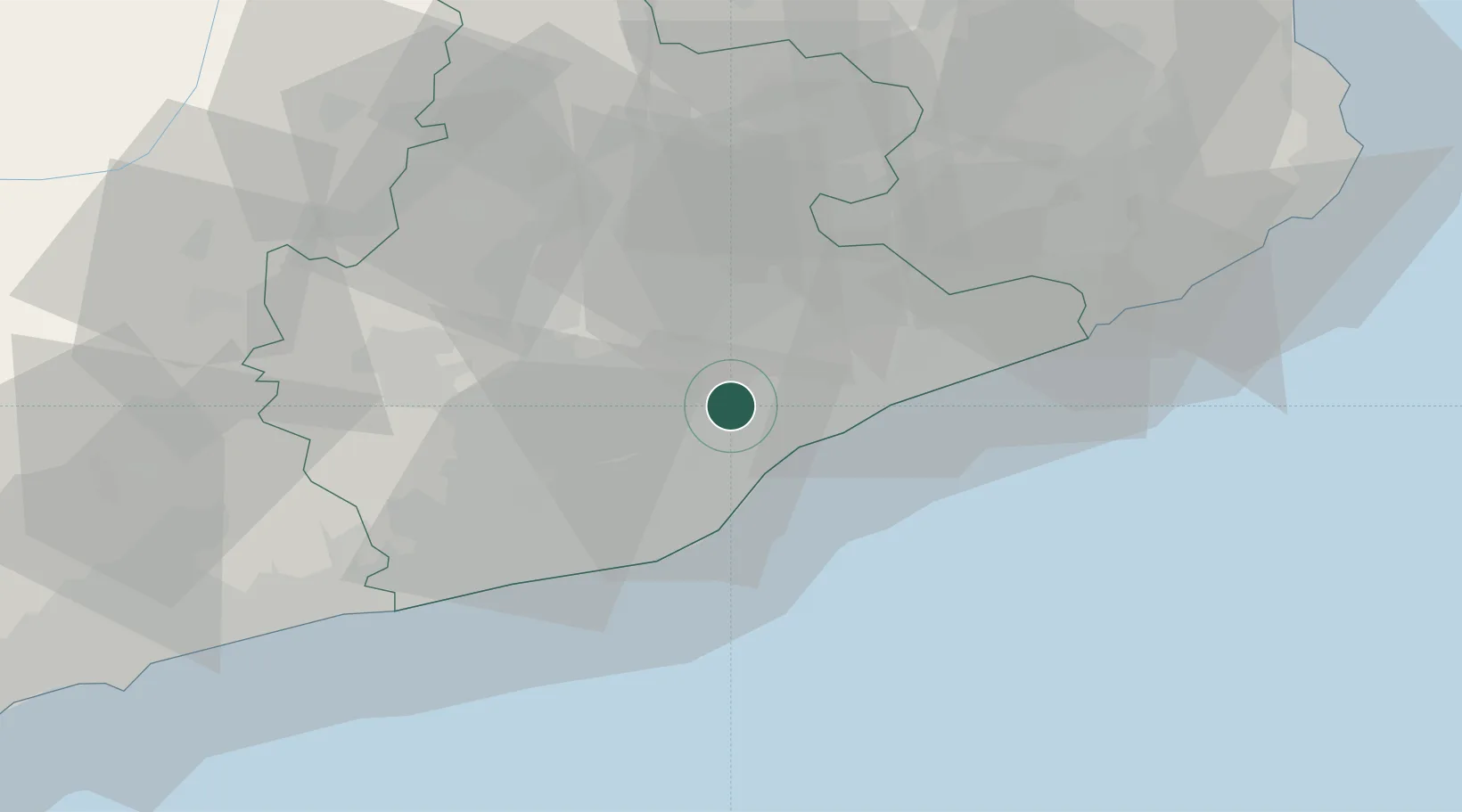
Santa Perpètua de Mogoda

41.5333°, 2.1833°
25,048
Population
2
Transport functions

Transport Functions

Rail
Road
UN/LOCODE

Hub Profile

Place type
District seat
GeoNames
Region
Catalonia
GeoNames
Population
25,048
GeoNames
Time zone
Europe/Madrid
GeoNames
Elevation
70 m
GeoNames

Location

Location of ESSPM
Natural Earth 10m (public domain) · Catalonia · ESSPM · 41.53, 2.18GoogleOSMYandex

Nearby Logistics Neighbours

Cities
  1. 1Mollet del Vallès3 km
  2. 2Martorellas4 km
  3. 3Cerdanyola del Vallès8 km
  4. 4Sentmenat9 km
  5. 5Vilanova Del Vallès9 km
Nearest neighbours — logibook spatial index (haversine) over the source coordinates
Ports
  1. 1Barcelona20 km
  2. 2Villanueva Y Geltru50 km
  3. 3San Feliu De Guixols76 km
  4. 4Palamos84 km
  5. 5Tarragona93 km
Nearest neighbours — logibook spatial index (haversine) over the source coordinates
Airports
  1. 1Josep Tarradellas Barcelona-El Prat Airport28 km
  2. 2Folgueroles Airfield48 km
  3. 3Girona-Costa Brava Airport63 km
  4. 4Reus Airport95 km
  5. 5Pirineus - la Seu d'Urgel Airport110 km
Nearest neighbours — logibook spatial index (haversine) over the source coordinates
Trade Zones
  1. 1Zona Franca de Barcelona23 km
  2. 2Depósito Franco de Tarragona91 km
  3. 3ZFU Perpignan142 km
  4. 4ZFU Béziers218 km
  5. 5ZFU Toulouse238 km
Nearest neighbours — logibook spatial index (haversine) over the source coordinates
DatabookThe Record of Consolidated Knowledge
Spain beyond logistics?
Browse databook

All Sources

LocationsUN/LOCODE
UN/LOCODE — free
LocationsGeoNames
CC BY 4.0
Portsthe NGA World Port Index
Public domain (US gov)
AirportsOurAirports
Public domain
Trade Zonesthe World Bank SEZ database
CC BY 4.0
Trade ZonesOpen Zone Map
CC BY
← Spain locations