UN/LOCODE hub · Spain
ESBQR

Martorellas

41.5333°, 2.2333°
1
Transport functions

Transport Functions

Multimodal
UN/LOCODE

Hub Profile

Region
B
GeoNames

Location

Location of ESBQR
Natural Earth 10m (public domain) · B · ESBQR · 41.53, 2.23GoogleOSMYandex

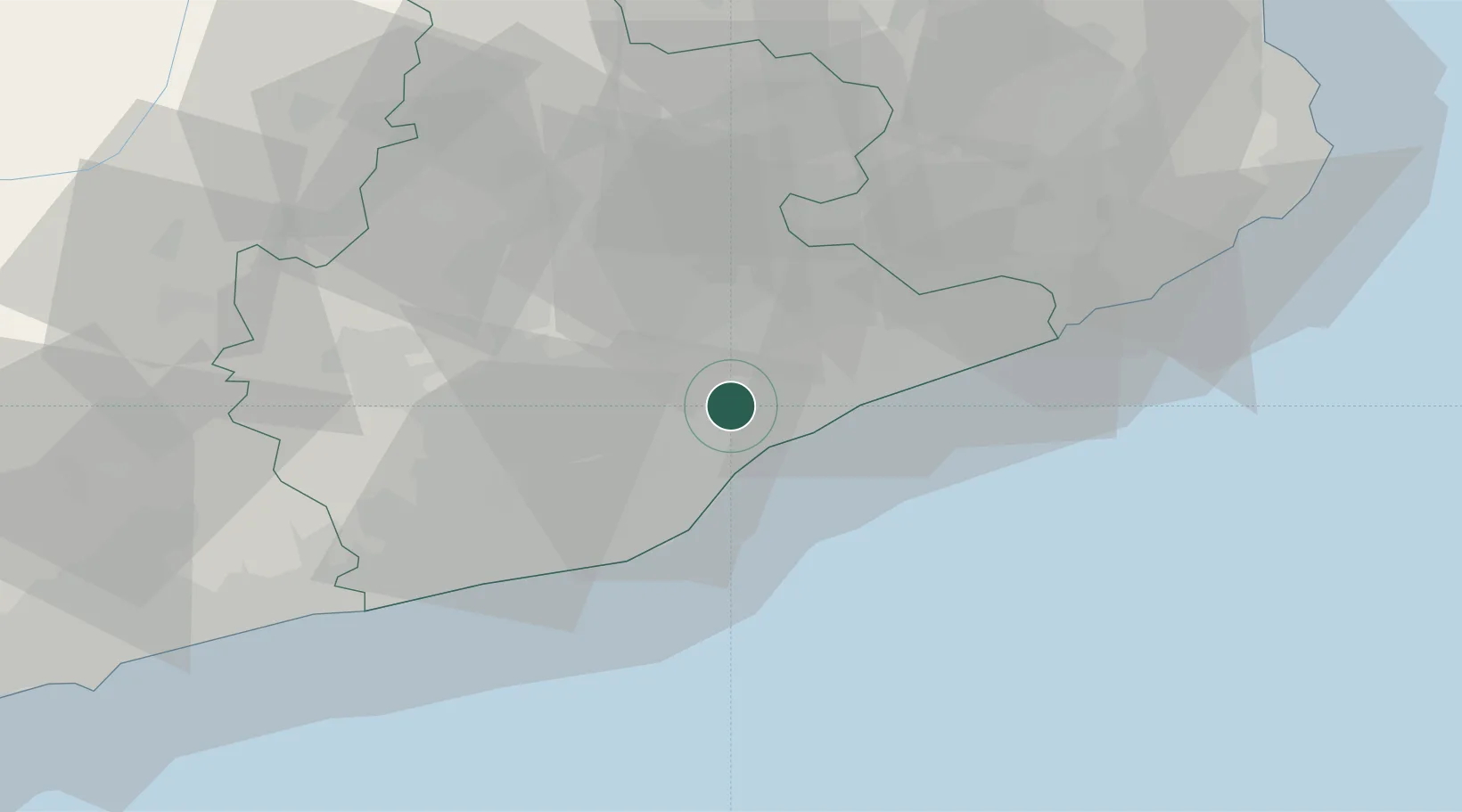
Nearby Logistics Neighbours

Cities
  1. 1Mollet del Vallès2 km
  2. 2Santa Perpètua de Mogoda4 km
  3. 3Vilanova Del Vallès5 km
  4. 4Canovelles9 km
  5. 5Montgat9 km
Nearest neighbours — logibook spatial index (haversine) over the source coordinates
Ports
  1. 1Barcelona21 km
  2. 2Villanueva Y Geltru53 km
  3. 3San Feliu De Guixols72 km
  4. 4Palamos81 km
  5. 5Tarragona96 km
Nearest neighbours — logibook spatial index (haversine) over the source coordinates
Airports
  1. 1Josep Tarradellas Barcelona-El Prat Airport29 km
  2. 2Folgueroles Airfield47 km
  3. 3Girona-Costa Brava Airport60 km
  4. 4Reus Airport99 km
  5. 5Pirineus - la Seu d'Urgel Airport113 km
Nearest neighbours — logibook spatial index (haversine) over the source coordinates
Trade Zones
  1. 1Zona Franca de Barcelona24 km
  2. 2Depósito Franco de Tarragona95 km
  3. 3ZFU Perpignan141 km
  4. 4ZFU Béziers216 km
  5. 5ZFU Toulouse239 km
Nearest neighbours — logibook spatial index (haversine) over the source coordinates
DatabookThe Record of Consolidated Knowledge
Spain beyond logistics?
Browse databook

All Sources

LocationsUN/LOCODE
UN/LOCODE — free
Portsthe NGA World Port Index
Public domain (US gov)
AirportsOurAirports
Public domain
Trade Zonesthe World Bank SEZ database
CC BY 4.0
Trade ZonesOpen Zone Map
CC BY
← Spain locations