UN/LOCODE hub · Spain
ESZIR

Nerva

37.7000°, -6.5333°
6,009
Population
1
Transport functions

Transport Functions

Multimodal
UN/LOCODE

Hub Profile

Place type
District seat
GeoNames
Region
Andalusia
GeoNames
Population
6,009
GeoNames
Time zone
Europe/Madrid
GeoNames
Elevation
336 m
GeoNames

Location

Location of ESZIR
Natural Earth 10m (public domain) · Andalusia · ESZIR · 37.70, -6.53GoogleOSMYandex

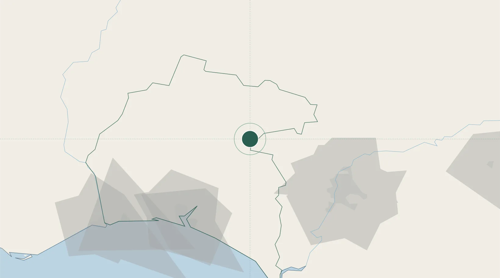
Nearby Logistics Neighbours

Cities
  1. 1Minas de Riotinto4 km
  2. 2Corteconcepcion22 km
  3. 3Galaroza28 km
  4. 4Jabugo30 km
  5. 5Aznalcollar31 km
Nearest neighbours — logibook spatial index (haversine) over the source coordinates
Ports
  1. 1Sevilla60 km
  2. 2Huelva62 km
  3. 3Vila Real De S Antonio96 km
  4. 4Rota122 km
  5. 5Cadiz131 km
Nearest neighbours — logibook spatial index (haversine) over the source coordinates
Airports
  1. 1Madroñalejos Forest Fire fighting Heliport28 km
  2. 2Seville Airport65 km
  3. 3Moron Air Base100 km
  4. 4Jerez Airport114 km
  5. 5Rota Naval Station Airport118 km
Nearest neighbours — logibook spatial index (haversine) over the source coordinates
Trade Zones
  1. 1Puerto de Huelva62 km
  2. 2Zona Franca de Sevilla62 km
  3. 3Zona Franca de Cádiz135 km
  4. 4Depósito Franco de Málaga192 km
  5. 5Depósito Franco de Algeciras201 km
Nearest neighbours — logibook spatial index (haversine) over the source coordinates
DatabookThe Record of Consolidated Knowledge
Spain beyond logistics?
Browse databook

All Sources

LocationsUN/LOCODE
UN/LOCODE — free
LocationsGeoNames
CC BY 4.0
Portsthe NGA World Port Index
Public domain (US gov)
AirportsOurAirports
Public domain
Trade Zonesthe World Bank SEZ database
CC BY 4.0
Trade ZonesOpen Zone Map
CC BY
← Spain locations