UN/LOCODE hub · Spain
ESZCO

Aznalcollar

37.5167°, -6.2667°
5,839
Population
1
Transport functions

Transport Functions

Multimodal
UN/LOCODE

Hub Profile

Place type
District seat
GeoNames
Region
Andalusia
GeoNames
Population
5,839
GeoNames
Time zone
Europe/Madrid
GeoNames
Elevation
126 m
GeoNames

Location

Location of ESZCO
Natural Earth 10m (public domain) · Andalusia · ESZCO · 37.52, -6.27GoogleOSMYandex

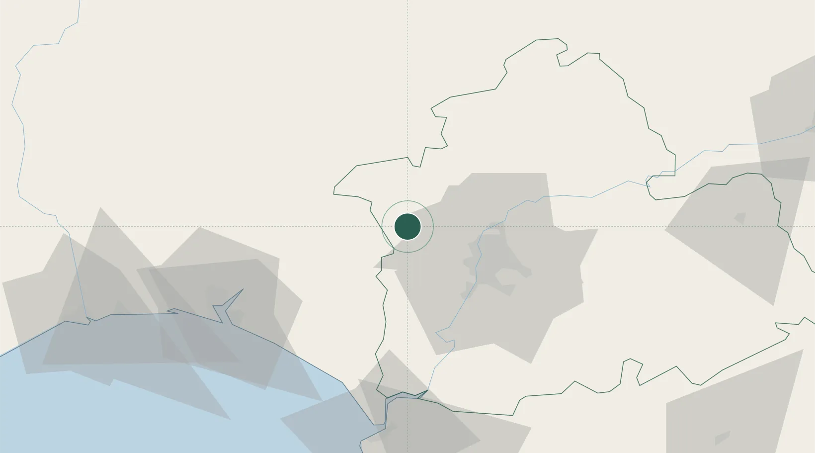
Nearby Logistics Neighbours

Cities
  1. 1Valencina de la Concepcion21 km
  2. 2Alcala del Rio27 km
  3. 3Burguillos28 km
  4. 4Sevilla30 km
  5. 5Gelves30 km
Nearest neighbours — logibook spatial index (haversine) over the source coordinates
Ports
  1. 1Sevilla29 km
  2. 2Huelva67 km
  3. 3Rota100 km
  4. 4Vila Real De S Antonio107 km
  5. 5Cadiz109 km
Nearest neighbours — logibook spatial index (haversine) over the source coordinates
Airports
  1. 1Madroñalejos Forest Fire fighting Heliport3 km
  2. 2Seville Airport35 km
  3. 3Moron Air Base69 km
  4. 4Jerez Airport88 km
  5. 5Tomás Fernández Espada Airfield90 km
Nearest neighbours — logibook spatial index (haversine) over the source coordinates
Trade Zones
  1. 1Zona Franca de Sevilla31 km
  2. 2Puerto de Huelva68 km
  3. 3Zona Franca de Cádiz113 km
  4. 4Depósito Franco de Málaga163 km
  5. 5Depósito Franco de Algeciras172 km
Nearest neighbours — logibook spatial index (haversine) over the source coordinates
DatabookThe Record of Consolidated Knowledge
Spain beyond logistics?
Browse databook

All Sources

LocationsUN/LOCODE
UN/LOCODE — free
LocationsGeoNames
CC BY 4.0
Portsthe NGA World Port Index
Public domain (US gov)
AirportsOurAirports
Public domain
Trade Zonesthe World Bank SEZ database
CC BY 4.0
Trade ZonesOpen Zone Map
CC BY
← Spain locations