Transport Functions
Multimodal
Hub Profile
Place type
Populated place
Region
Murcia
Time zone
Europe/Madrid
Elevation
185 m
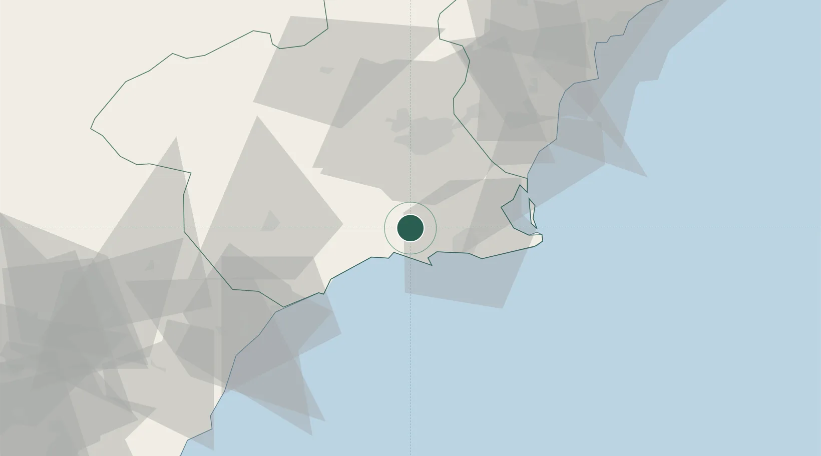
Location
Nearby Logistics Neighbours
Cities
- 1Lobosillo12 km
- 2Jimenado16 km
- 3Corvera19 km
- 4Cartagena20 km
- 5La Aparecida21 km
Ports
- 1Cartagena20 km
- 2Aguilas45 km
- 3Torrevieja55 km
- 4Puerto De Garrucha78 km
- 5Alicante96 km
Airports
Trade Zones
- 1Depósito Franco de Alicante96 km
- 2Depósito Franco de Valencia212 km
- 3Depósito Franco de Málaga303 km
- 4Melilla Autonomous Community307 km
- 5Berkane Agro-Pole319 km
DatabookThe Record of Consolidated Knowledge
Spain beyond logistics?