Transport Functions
Multimodal
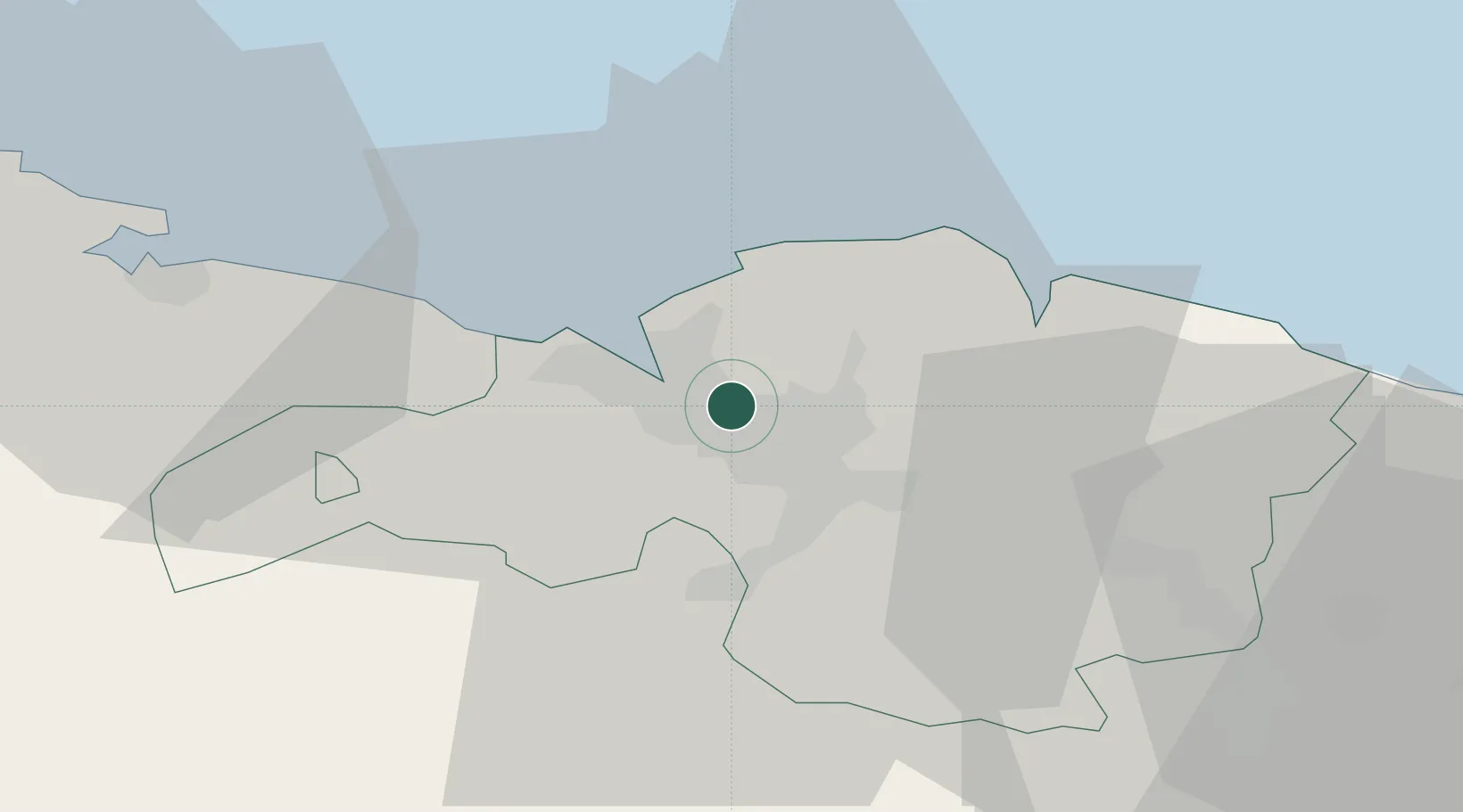
Hub Profile
Place type
District seat
Region
Basque Country
Population
24,262
Time zone
Europe/Madrid
Elevation
9 m
Location
Nearby Logistics Neighbours
Cities
- 1Santurce1 km
- 2Lutxana1 km
- 3Lejona5 km
- 4Santurtz6 km
- 5Alonsotegui6 km
Ports
- 1Puerto De Bilbao10 km
- 2Bermeo23 km
- 3Santander70 km
- 4Puerto De Pasajes82 km
- 5Bayonne122 km
Airports
- 1Bilbao Airport3 km
- 2Vitoria Airport50 km
- 3Seve Ballesteros-Santander Airport72 km
- 4San Sebastián Airport94 km
- 5Logroño-Agoncillo Airport106 km
Trade Zones
DatabookThe Record of Consolidated Knowledge
Spain beyond logistics?