UN/LOCODE hub · Spain
ESSNR

Santurce

43.2958°, -2.9573°
3
Transport functions

Transport Functions

Port
Rail
Road
UN/LOCODE

Hub Profile

Region
BI
GeoNames
Logistics facilities
1
UN/LOCODE

Location

Location of ESSNR
Natural Earth 10m (public domain) · BI · ESSNR · 43.30, -2.96GoogleOSMYandex

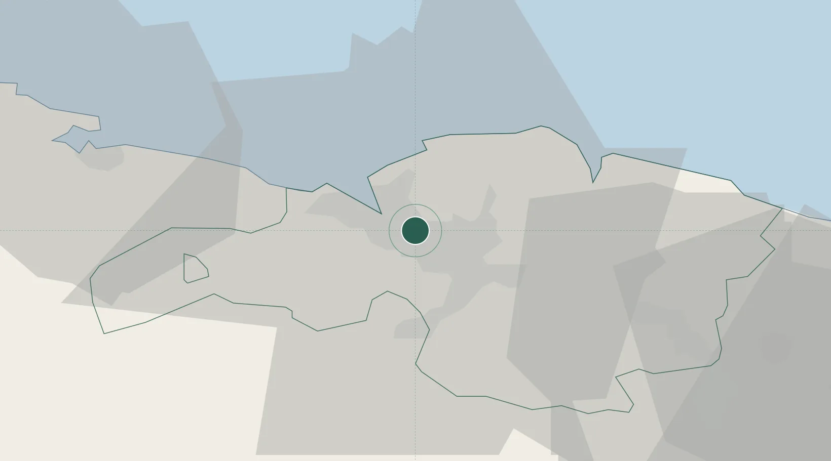
Nearby Logistics Neighbours

Cities
  1. 1Erandio1 km
  2. 2Lutxana1 km
  3. 3Lejona4 km
  4. 4Santurtz5 km
  5. 5Alonsotegui6 km
Nearest neighbours — logibook spatial index (haversine) over the source coordinates
Ports
  1. 1Puerto De Bilbao10 km
  2. 2Bermeo24 km
  3. 3Santander69 km
  4. 4Puerto De Pasajes83 km
  5. 5Bayonne123 km
Nearest neighbours — logibook spatial index (haversine) over the source coordinates
Airports
  1. 1Bilbao Airport4 km
  2. 2Vitoria Airport50 km
  3. 3Seve Ballesteros-Santander Airport71 km
  4. 4San Sebastián Airport95 km
  5. 5Logroño-Agoncillo Airport106 km
Nearest neighbours — logibook spatial index (haversine) over the source coordinates
Trade Zones
  1. 1Depósito Franco de Bilbao8 km
  2. 2Zona Franca de Santander71 km
  3. 3Depósito Franco de Pasajes (Guipúzcoa)84 km
  4. 4Depósito Franco de Villafría (Burgos)120 km
  5. 5Depósito Franco de Gijón223 km
Nearest neighbours — logibook spatial index (haversine) over the source coordinates
DatabookThe Record of Consolidated Knowledge
Spain beyond logistics?
Browse databook

All Sources

LocationsUN/LOCODE
UN/LOCODE — free
Portsthe NGA World Port Index
Public domain (US gov)
AirportsOurAirports
Public domain
Trade Zonesthe World Bank SEZ database
CC BY 4.0
Trade ZonesOpen Zone Map
CC BY
← Spain locations