Transport Functions
Multimodal
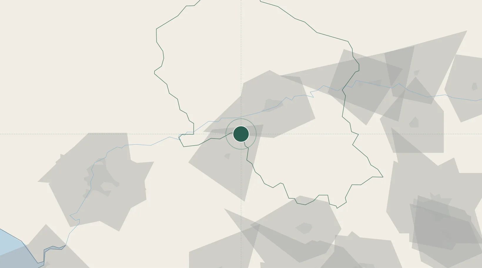
Hub Profile
Region
SE
Location
Nearby Logistics Neighbours
Cities
- 1La Victoria12 km
- 2Posadas15 km
- 3Villarrubia18 km
- 4Canada Rosal23 km
- 5Montalban de Cordoba24 km
Airports
- 1Córdoba Airport20 km
- 2Moron Air Base81 km
- 3Seville Airport86 km
- 4Tomás Fernández Espada Airfield109 km
- 5Madroñalejos Forest Fire fighting Heliport117 km
Trade Zones
- 1Depósito Franco de Málaga84 km
- 2Zona Franca de Sevilla99 km
- 3Zona Franca de Cádiz175 km
- 4Depósito Franco de Algeciras180 km
- 5Puerto de Huelva181 km
DatabookThe Record of Consolidated Knowledge
Spain beyond logistics?