UN/LOCODE hub · Spain
ESZNN

Urduliz

43.3667°, -2.9500°
1
Transport functions

Transport Functions

Multimodal
UN/LOCODE

Location

Location of ESZNN
Natural Earth 10m (public domain) · Bizkaia · ESZNN · 43.37, -2.95GoogleOSMYandex

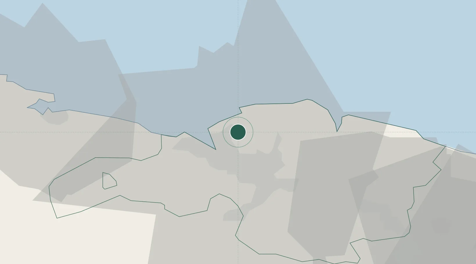
Nearby Logistics Neighbours

Cities
  1. 1Sopelana2 km
  2. 2Berango3 km
  3. 3Plencia6 km
  4. 4Algorta6 km
  5. 5Lejona7 km
Nearest neighbours — logibook spatial index (haversine) over the source coordinates
Ports
  1. 1Puerto De Bilbao8 km
  2. 2Bermeo20 km
  3. 3Santander68 km
  4. 4Puerto De Pasajes82 km
  5. 5Bayonne121 km
Nearest neighbours — logibook spatial index (haversine) over the source coordinates
Airports
  1. 1Bilbao Airport8 km
  2. 2Vitoria Airport57 km
  3. 3Seve Ballesteros-Santander Airport71 km
  4. 4San Sebastián Airport94 km
  5. 5Logroño-Agoncillo Airport113 km
Nearest neighbours — logibook spatial index (haversine) over the source coordinates
Trade Zones
  1. 1Depósito Franco de Bilbao8 km
  2. 2Zona Franca de Santander70 km
  3. 3Depósito Franco de Pasajes (Guipúzcoa)83 km
  4. 4Depósito Franco de Villafría (Burgos)127 km
  5. 5Depósito Franco de Gijón223 km
Nearest neighbours — logibook spatial index (haversine) over the source coordinates
DatabookThe Record of Consolidated Knowledge
Spain beyond logistics?
Browse databook

All Sources

LocationsUN/LOCODE
UN/LOCODE — free
Portsthe NGA World Port Index
Public domain (US gov)
AirportsOurAirports
Public domain
Trade Zonesthe World Bank SEZ database
CC BY 4.0
Trade ZonesOpen Zone Map
CC BY
← Spain locations