Transport Functions
Rail
Road
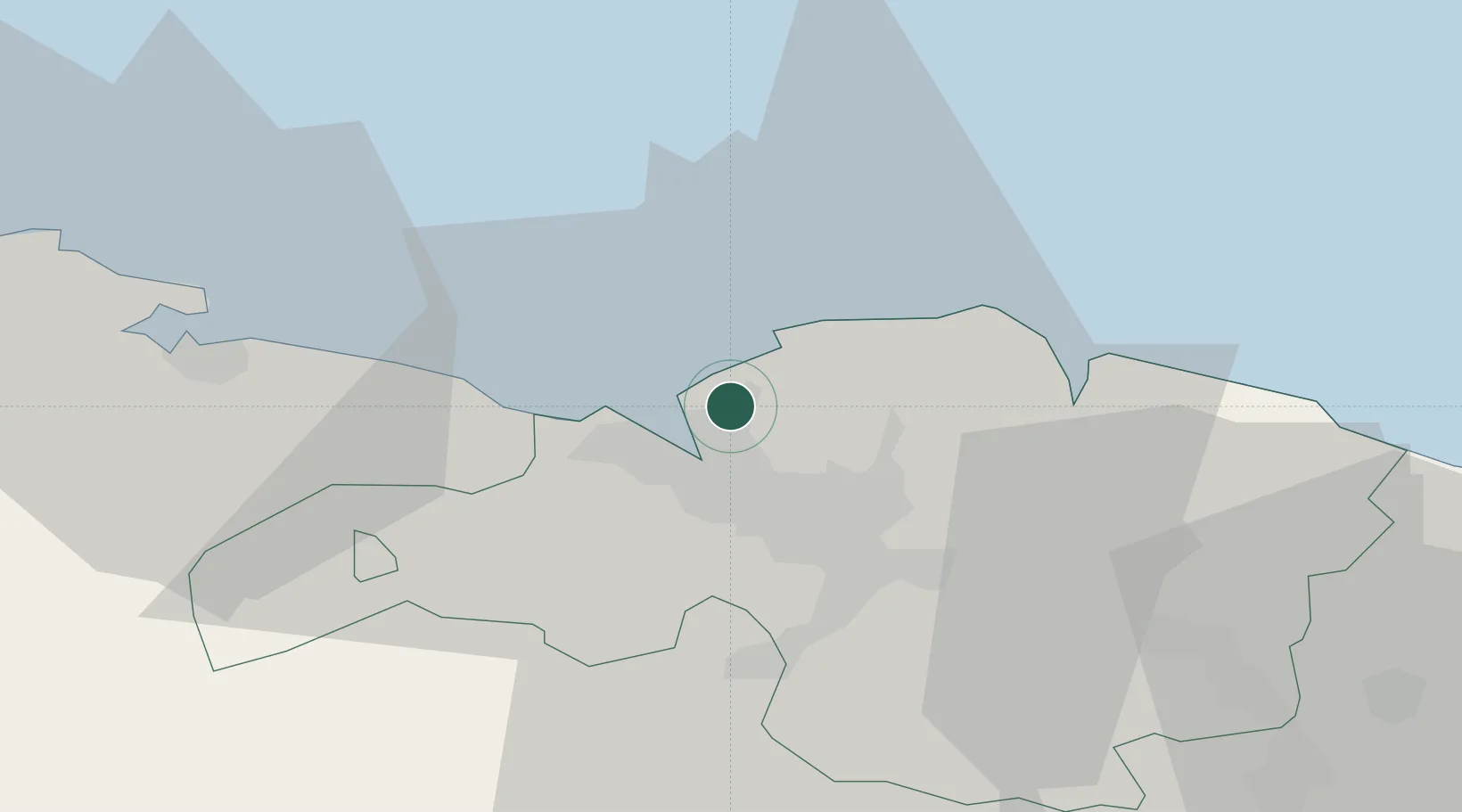
Hub Profile
Place type
District seat
Region
Basque Country
Population
6,064
Time zone
Europe/Madrid
Elevation
27 m
Location
Nearby Logistics Neighbours
Ports
- 1Puerto De Bilbao6 km
- 2Bermeo22 km
- 3Santander66 km
- 4Puerto De Pasajes85 km
- 5Bayonne123 km
Airports
- 1Bilbao Airport9 km
- 2Vitoria Airport58 km
- 3Seve Ballesteros-Santander Airport68 km
- 4San Sebastián Airport96 km
- 5Logroño-Agoncillo Airport114 km
Trade Zones
DatabookThe Record of Consolidated Knowledge
Spain beyond logistics?