Transport Functions
Multimodal
Hub Profile
Place type
District seat
Region
Valencia
Population
3,908
Time zone
Europe/Madrid
Elevation
262 m
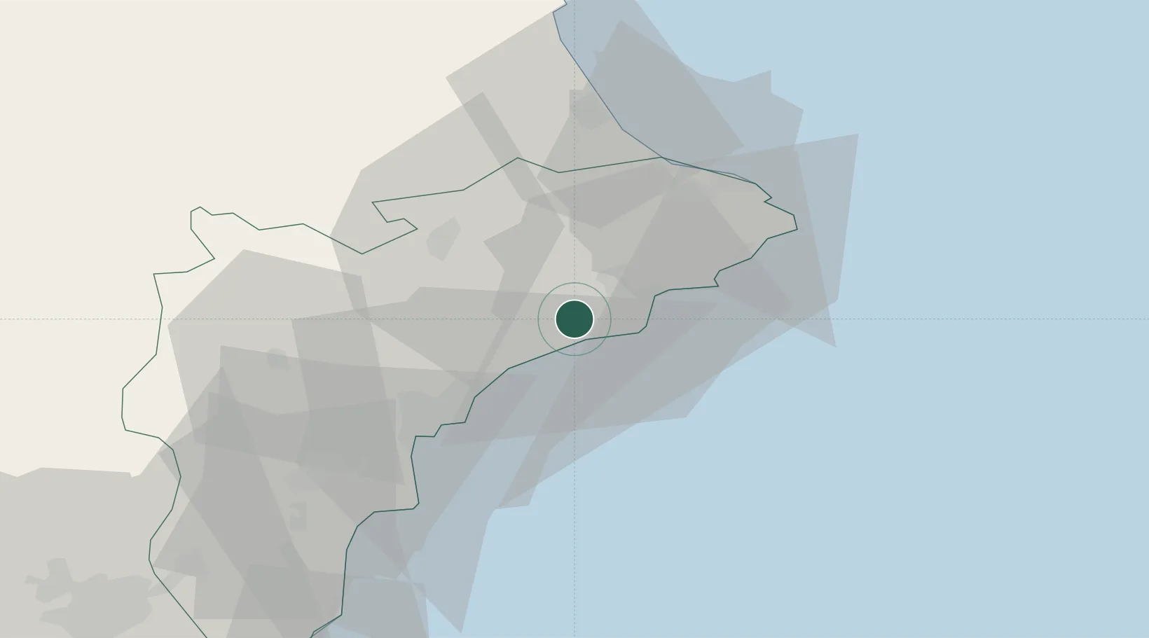
Location
Nearby Logistics Neighbours
Cities
- 1Muchamiel26 km
- 2Benissa26 km
- 3San Juan de Alicante28 km
- 4Morayra32 km
- 5Pedreguer34 km
Ports
- 1Alicante36 km
- 2Puerto De Gandia48 km
- 3Torrevieja79 km
- 4Valencia99 km
- 5Sagunto121 km
Airports
- 1Alicante-Elche Miguel Hernández Airport44 km
- 2San Javier Airport103 km
- 3Valencia Airport105 km
- 4Alcantarilla Air Base113 km
- 5Region of Murcia International Airport117 km
Trade Zones
DatabookThe Record of Consolidated Knowledge
Spain beyond logistics?