Transport Functions
Multimodal
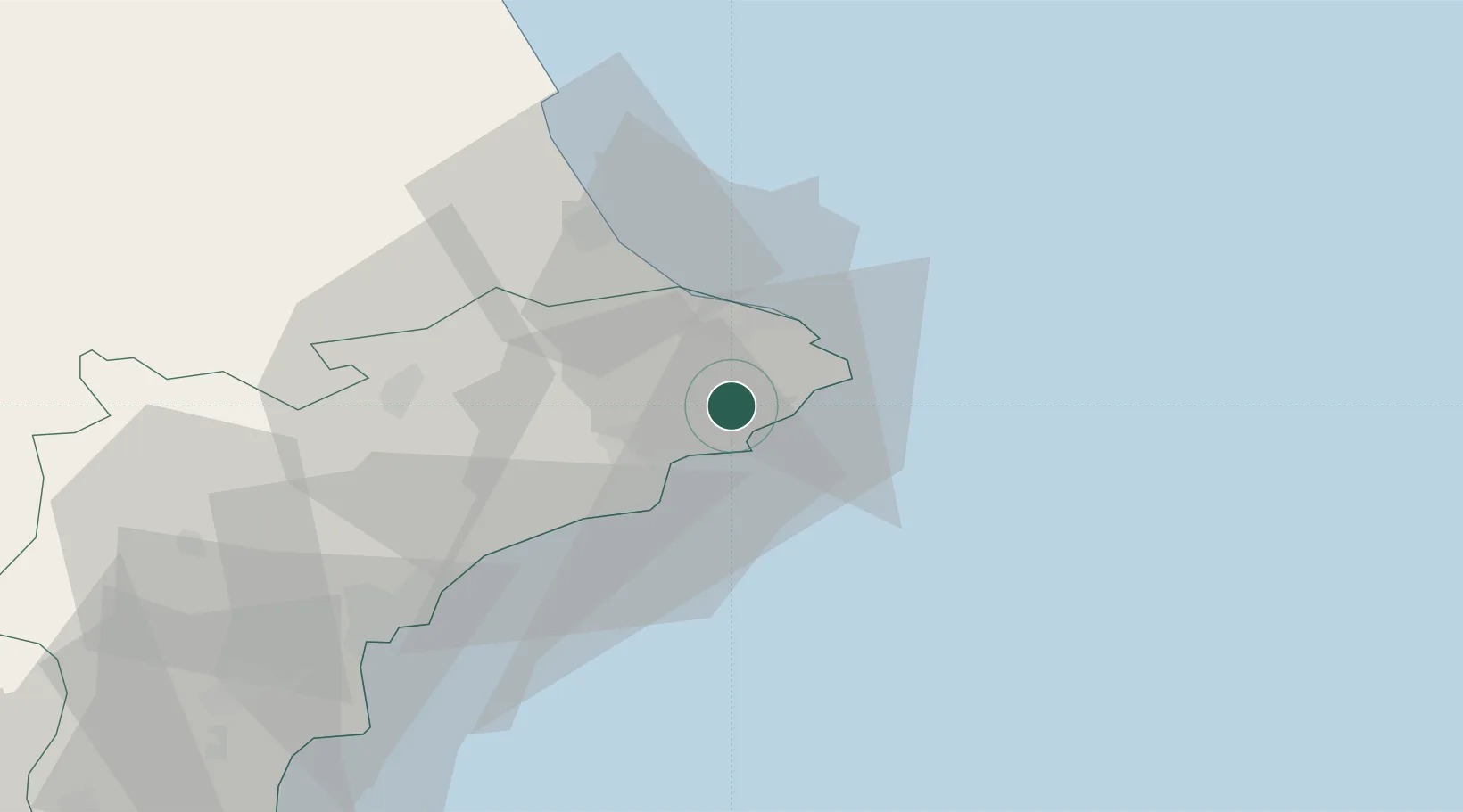
Hub Profile
Place type
District seat
Region
Valencia
Population
13,221
Time zone
Europe/Madrid
Elevation
266 m
Location
Nearby Logistics Neighbours
Cities
- 1Morayra8 km
- 2Pedreguer11 km
- 3Jávea14 km
- 4Finestrat26 km
- 5La Font den Carros31 km
Ports
- 1Puerto De Gandia38 km
- 2Alicante62 km
- 3Valencia89 km
- 4Torrevieja104 km
- 5Sagunto108 km
Airports
- 1Alicante-Elche Miguel Hernández Airport70 km
- 2Valencia Airport99 km
- 3Ibiza Airport116 km
- 4San Javier Airport128 km
- 5Alcantarilla Air Base139 km
Trade Zones
DatabookThe Record of Consolidated Knowledge
Spain beyond logistics?