Transport Functions
Road
Multimodal
Hub Profile
Region
A
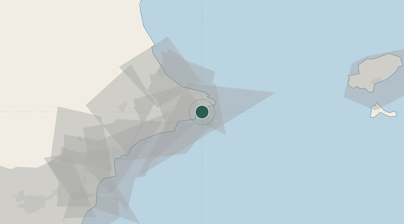
Location
Nearby Logistics Neighbours
Cities
- 1Benissa8 km
- 2Jávea12 km
- 3Pedreguer15 km
- 4Finestrat32 km
- 5La Font den Carros37 km
Ports
- 1Puerto De Gandia43 km
- 2Alicante66 km
- 3Valencia94 km
- 4Torrevieja107 km
- 5Sagunto112 km
Airports
- 1Alicante-Elche Miguel Hernández Airport75 km
- 2Valencia Airport104 km
- 3Ibiza Airport110 km
- 4San Javier Airport131 km
- 5Alcantarilla Air Base144 km
Trade Zones
DatabookThe Record of Consolidated Knowledge
Spain beyond logistics?