UN/LOCODE hub · Spain
ESMCM

Muchamiel

38.4167°, -0.4333°
2
Transport functions

Transport Functions

Road
Multimodal
UN/LOCODE

Hub Profile

Region
A
GeoNames

Location

Location of ESMCM
Natural Earth 10m (public domain) · A · ESMCM · 38.42, -0.43GoogleOSMYandex

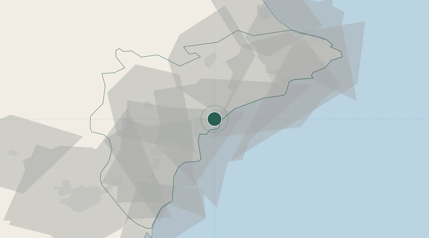
Nearby Logistics Neighbours

Cities
  1. 1San Juan de Alicante2 km
  2. 2Alicante11 km
  3. 3Torrellano20 km
  4. 4Finestrat26 km
  5. 5Montesinos28 km
Nearest neighbours — logibook spatial index (haversine) over the source coordinates
Ports
  1. 1Alicante10 km
  2. 2Torrevieja55 km
  3. 3Puerto De Gandia69 km
  4. 4Cartagena104 km
  5. 5Valencia115 km
Nearest neighbours — logibook spatial index (haversine) over the source coordinates
Airports
  1. 1Alicante-Elche Miguel Hernández Airport19 km
  2. 2San Javier Airport79 km
  3. 3Alcantarilla Air Base87 km
  4. 4Region of Murcia International Airport91 km
  5. 5Valencia Airport119 km
Nearest neighbours — logibook spatial index (haversine) over the source coordinates
Trade Zones
  1. 1Depósito Franco de Alicante10 km
  2. 2Depósito Franco de Valencia115 km
  3. 3Depósito Franco de Tarragona333 km
  4. 4Depósito Franco de Madrid-Aeropuerto353 km
  5. 5Depósito Franco de Zaragoza360 km
Nearest neighbours — logibook spatial index (haversine) over the source coordinates
DatabookThe Record of Consolidated Knowledge
Spain beyond logistics?
Browse databook

All Sources

LocationsUN/LOCODE
UN/LOCODE — free
Portsthe NGA World Port Index
Public domain (US gov)
AirportsOurAirports
Public domain
Trade Zonesthe World Bank SEZ database
CC BY 4.0
Trade ZonesOpen Zone Map
CC BY
← Spain locations