UN/LOCODE hub · Spain
ESZLV

Soto de la Vega

42.3333°, -5.8833°
1,923
Population
1
Transport functions

Transport Functions

Multimodal
UN/LOCODE

Hub Profile

Place type
District seat
GeoNames
Region
Castille and León
GeoNames
Population
1,923
GeoNames
Time zone
Europe/Madrid
GeoNames
Elevation
778 m
GeoNames

Location

Location of ESZLV
Natural Earth 10m (public domain) · Castille and León · ESZLV · 42.33, -5.88GoogleOSMYandex

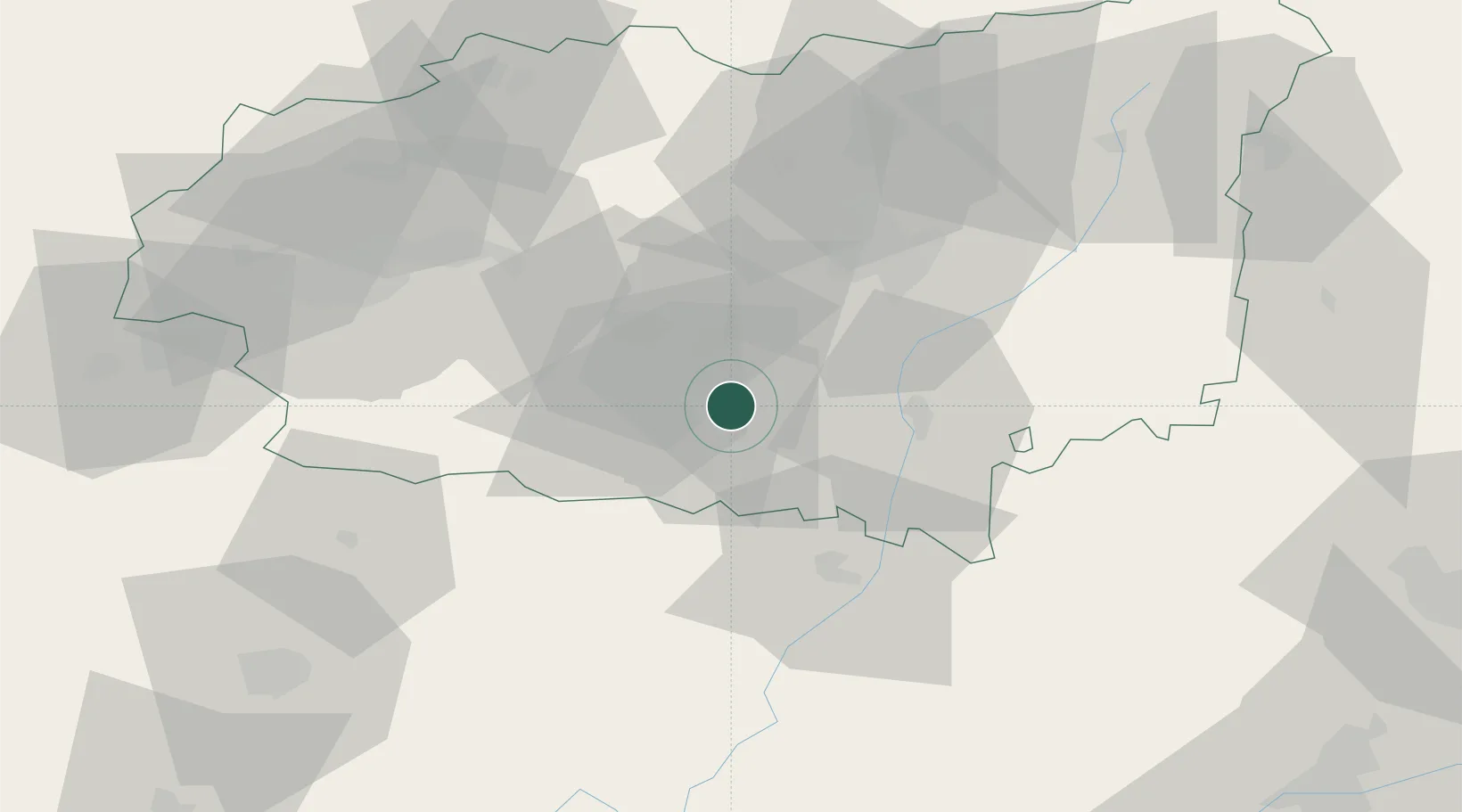
Nearby Logistics Neighbours

Cities
  1. 1Astorga10 km
  2. 2Ardoncino26 km
  3. 3Grajal de Ribera28 km
  4. 4Santibanez de Vidriales32 km
  5. 5Brime de Urz33 km
Nearest neighbours — logibook spatial index (haversine) over the source coordinates
Ports
  1. 1Gijon136 km
  2. 2Aviles141 km
  3. 3Ribadeo163 km
  4. 4San Ciprian197 km
  5. 5Santander213 km
Nearest neighbours — logibook spatial index (haversine) over the source coordinates
Airports
  1. 1León Int'l Airport34 km
  2. 2Bragança Airport86 km
  3. 3Valladolid Airport110 km
  4. 4Asturias Airport137 km
  5. 5Salamanca Airport157 km
Nearest neighbours — logibook spatial index (haversine) over the source coordinates
Trade Zones
  1. 1Depósito Franco de Gijón138 km
  2. 2Depósito Franco de Villafría (Burgos)177 km
  3. 3Zona Franca de Santander210 km
  4. 4Depósito Franco de La Coruña234 km
  5. 5Zona Franca de Vigo237 km
Nearest neighbours — logibook spatial index (haversine) over the source coordinates
DatabookThe Record of Consolidated Knowledge
Spain beyond logistics?
Browse databook

All Sources

LocationsUN/LOCODE
UN/LOCODE — free
LocationsGeoNames
CC BY 4.0
Portsthe NGA World Port Index
Public domain (US gov)
AirportsOurAirports
Public domain
Trade Zonesthe World Bank SEZ database
CC BY 4.0
Trade ZonesOpen Zone Map
CC BY
← Spain locations