Transport Functions
Road
Multimodal
Hub Profile
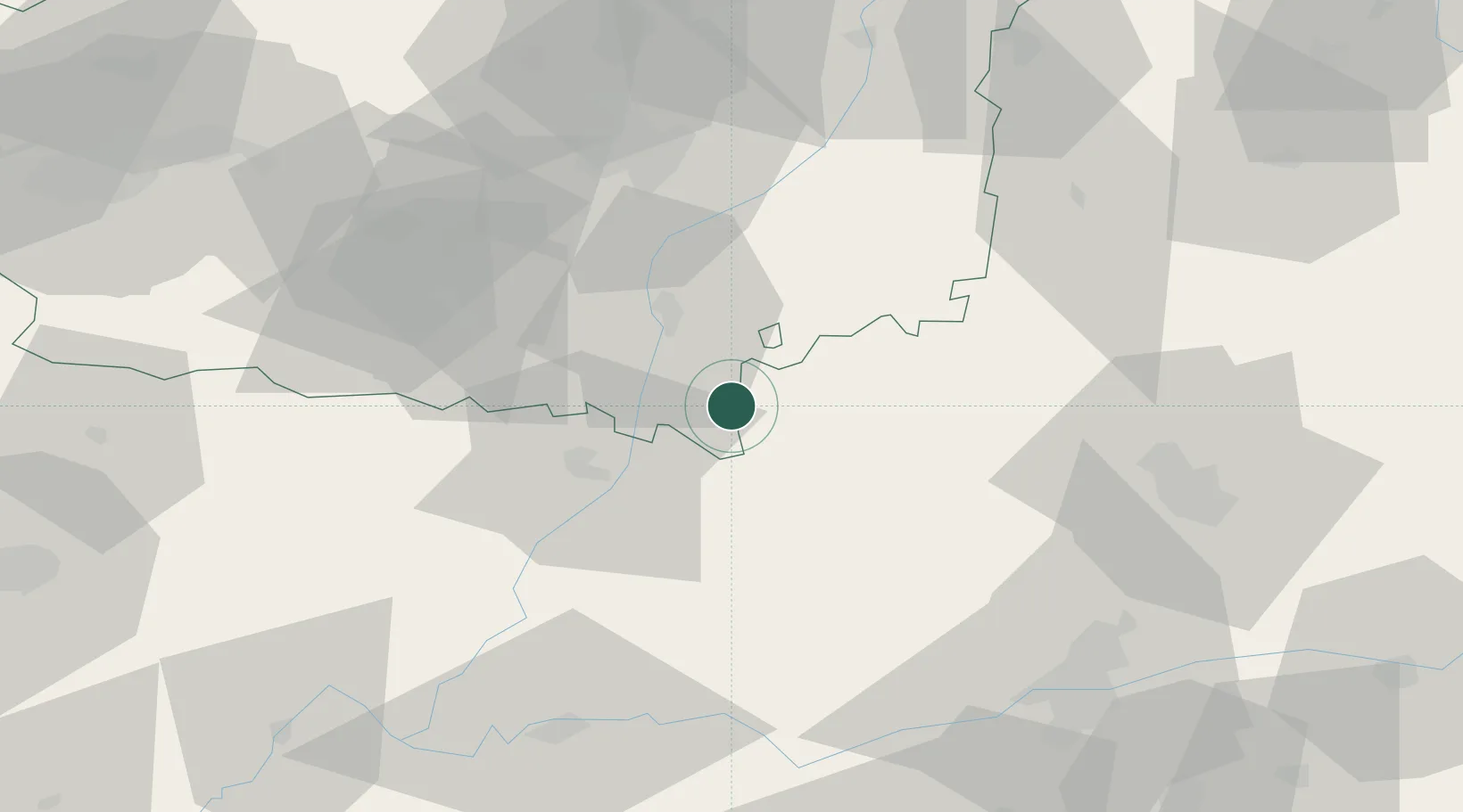
Place type
District seat
Region
Castille and León
Population
637
Time zone
Europe/Madrid
Elevation
753 m
Location
Nearby Logistics Neighbours
Cities
- 1Grajal de Ribera19 km
- 2San Cristobal de Entrevinas21 km
- 3Santervas De Campos26 km
- 4Vallecillo29 km
- 5Villalón de Campos31 km
Ports
- 1Gijon159 km
- 2Aviles169 km
- 3Santander198 km
- 4Ribadeo205 km
- 5Puerto De Bilbao235 km
Airports
- 1León Int'l Airport55 km
- 2Valladolid Airport66 km
- 3Bragança Airport112 km
- 4Salamanca Airport132 km
- 5Burgos Airport149 km
Trade Zones
DatabookThe Record of Consolidated Knowledge
Spain beyond logistics?