UN/LOCODE hub · Spain
ESVCM
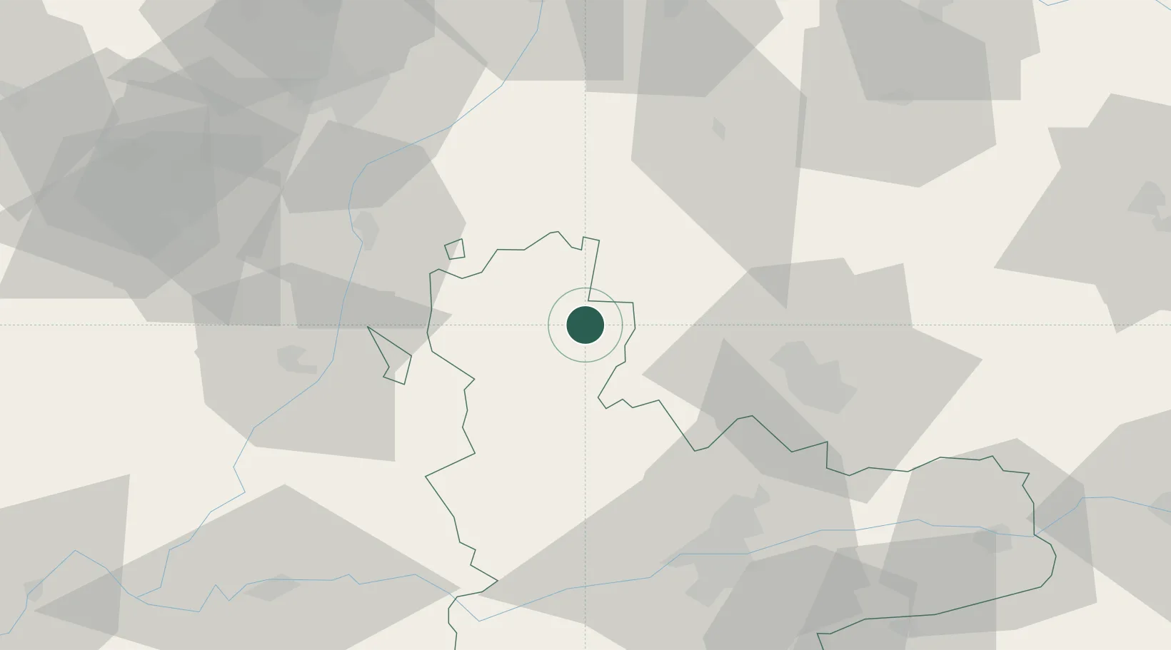
Villalón de Campos
42.1000°, -5.0333°
2,051
Population
2
Transport functions
Transport Functions
Rail
Road
Hub Profile
Place type
District seat
Region
Castille and León
Population
2,051
Time zone
Europe/Madrid
Elevation
784 m
Location
Nearby Logistics Neighbours
Cities
- 1Santervas De Campos14 km
- 2Cisneros20 km
- 3Medina de Ríoseco24 km
- 4Sahagún30 km
- 5Gordoncillo31 km
Ports
- 1Gijon169 km
- 2Aviles182 km
- 3Santander183 km
- 4Puerto De Bilbao214 km
- 5Ribadeo228 km
Airports
- 1Valladolid Airport46 km
- 2León Int'l Airport75 km
- 3Burgos Airport120 km
- 4Salamanca Airport134 km
- 5Bragança Airport141 km
Trade Zones
DatabookThe Record of Consolidated Knowledge
Spain beyond logistics?