UN/LOCODE hub · Spain
ESS8C
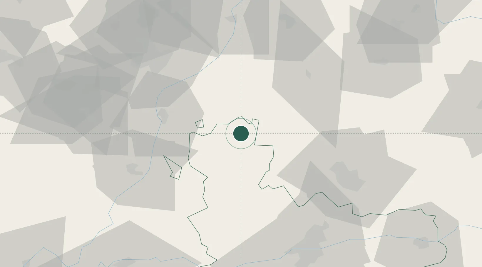
Santervas De Campos
42.2167°, -5.1000°
144
Population
1
Transport functions
Transport Functions
Port
Hub Profile
Place type
District seat
Region
Castille and León
Population
144
Time zone
Europe/Madrid
Elevation
762 m
Location
Nearby Logistics Neighbours
Cities
- 1Villalón de Campos14 km
- 2Vallecillo17 km
- 3Sahagún18 km
- 4Cisneros21 km
- 5Gordoncillo26 km
Ports
- 1Gijon155 km
- 2Aviles168 km
- 3Santander176 km
- 4Puerto De Bilbao209 km
- 5Ribadeo215 km
Airports
- 1Valladolid Airport60 km
- 2León Int'l Airport62 km
- 3Burgos Airport123 km
- 4Bragança Airport139 km
- 5Salamanca Airport145 km
Trade Zones
DatabookThe Record of Consolidated Knowledge
Spain beyond logistics?