UN/LOCODE hub · Spain
ESCAD
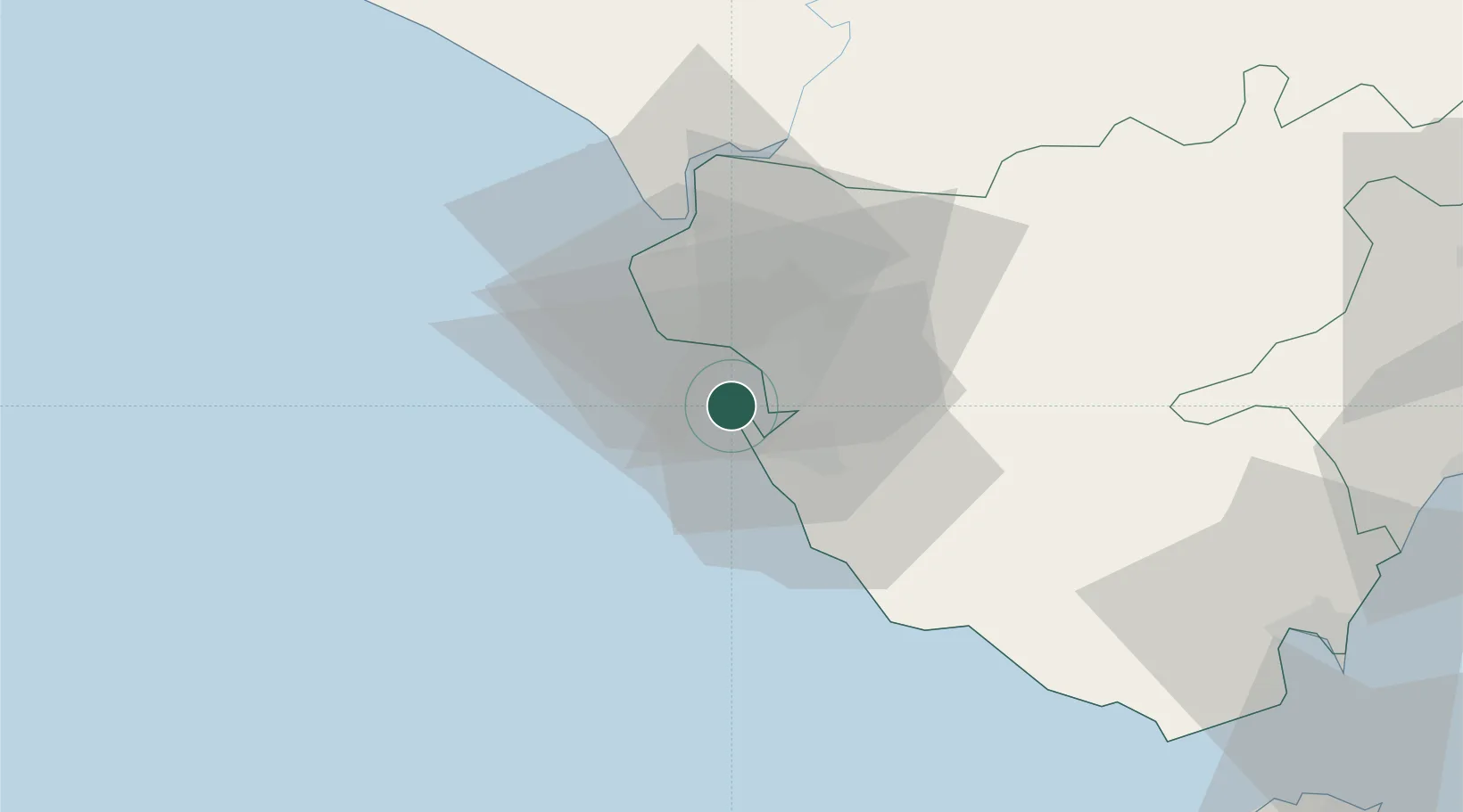
Cadiz
36.5215°, -6.2809°
116,979
Population
1
Transport functions
1
Container terminals
Transport Functions
Port
Hub Profile
Place type
Provincial seat
Region
Andalusia
Population
116,979
Time zone
Europe/Madrid
Elevation
22 m
Logistics facilities
2
Container terminals
1
Location
Nearby Logistics Neighbours
Cities
- 1San Fernando10 km
- 2Guadalcacin27 km
- 3Alcantara31 km
- 4Conil de la Frontera33 km
- 5Trebujena40 km
Ports
- 1Rota12 km
- 2Algeciras87 km
- 3Tanger92 km
- 4Sevilla97 km
- 5Tangier-Mediterranean97 km
Airports
- 1Rota Naval Station Airport15 km
- 2Jerez Airport32 km
- 3Tomás Fernández Espada Airfield69 km
- 4Algeciras Heliport87 km
- 5Gibraltar Airport93 km
Trade Zones
DatabookThe Record of Consolidated Knowledge
Spain beyond logistics?