Transport Functions
Multimodal
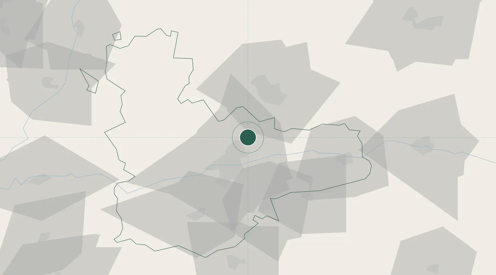
Hub Profile
Place type
Populated place
Region
Castille and León
Population
2,540
Time zone
Europe/Madrid
Elevation
708 m
Location
Nearby Logistics Neighbours
Cities
- 1Cigales7 km
- 2Zaratán15 km
- 3Villabáñez15 km
- 4Laguna de Duero18 km
- 5Sardón de Duero22 km
Ports
- 1Santander205 km
- 2Gijon219 km
- 3Puerto De Bilbao222 km
- 4Aviles233 km
- 5Bermeo244 km
Airports
- 1Valladolid Airport18 km
- 2Burgos Airport109 km
- 3Salamanca Airport113 km
- 4León Int'l Airport127 km
- 5Adolfo Suárez Madrid–Barajas Airport164 km
Trade Zones
DatabookThe Record of Consolidated Knowledge
Spain beyond logistics?