Transport Functions
Rail
Road
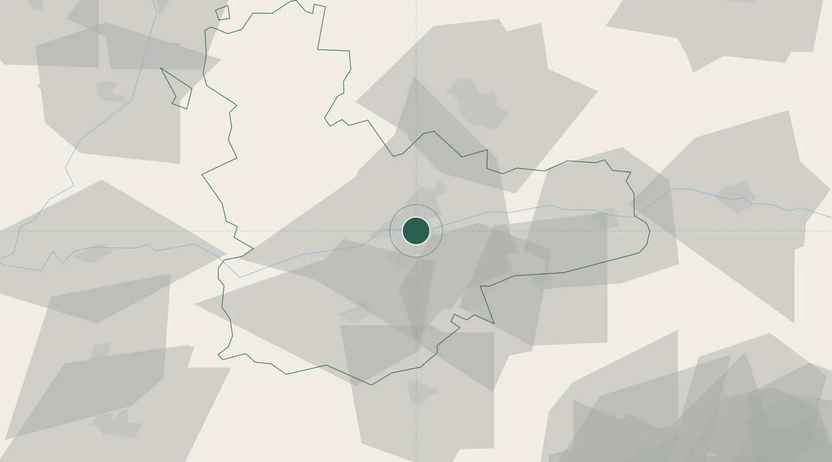
Hub Profile
Place type
District seat
Region
Castille and León
Population
21,762
Time zone
Europe/Madrid
Elevation
708 m
Location
Nearby Logistics Neighbours
Cities
- 1Boecillo6 km
- 2Aldeamayor de San Martin10 km
- 3Zaratán11 km
- 4Villabáñez18 km
- 5Cabezon18 km
Ports
- 1Santander223 km
- 2Gijon232 km
- 3Puerto De Bilbao239 km
- 4Aviles245 km
- 5Bermeo262 km
Airports
- 1Valladolid Airport18 km
- 2Salamanca Airport96 km
- 3Burgos Airport125 km
- 4León Int'l Airport136 km
- 5Adolfo Suárez Madrid–Barajas Airport155 km
Trade Zones
DatabookThe Record of Consolidated Knowledge
Spain beyond logistics?