Transport Functions
Rail
Road
Hub Profile
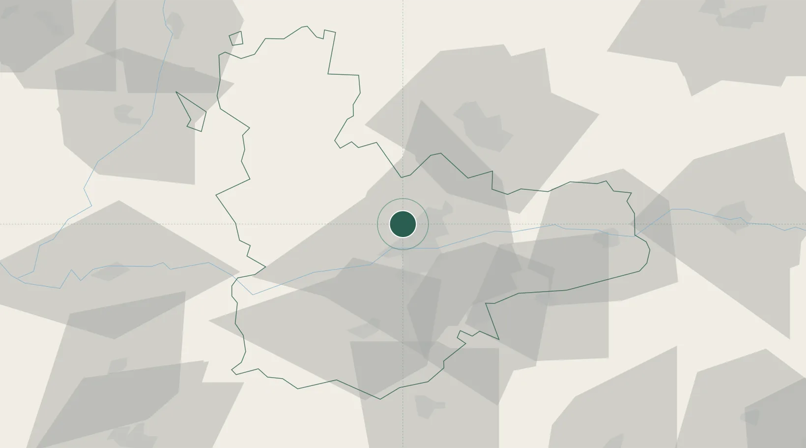
Place type
District seat
Region
Castille and León
Population
2,395
Time zone
Europe/Madrid
Elevation
755 m
Location
Nearby Logistics Neighbours
Cities
- 1Laguna de Duero11 km
- 2Cigales13 km
- 3Cabezon15 km
- 4Boecillo16 km
- 5Torrelobaton20 km
Ports
- 1Santander216 km
- 2Gijon222 km
- 3Aviles235 km
- 4Puerto De Bilbao235 km
- 5Bermeo258 km
Airports
- 1Valladolid Airport7 km
- 2Salamanca Airport100 km
- 3Burgos Airport123 km
- 4León Int'l Airport125 km
- 5Bragança Airport161 km
Trade Zones
DatabookThe Record of Consolidated Knowledge
Spain beyond logistics?