Transport Functions
Port
Road
Hub Profile
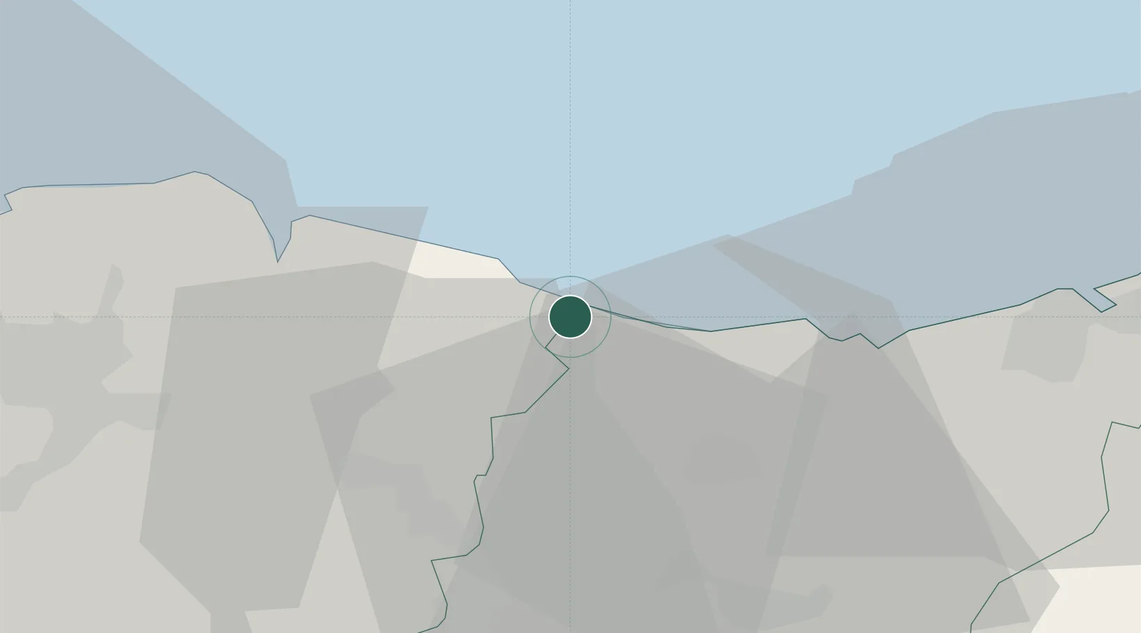
Place type
District seat
Region
Basque Country
Population
9,546
Time zone
Europe/Madrid
Elevation
180 m
Location
Nearby Logistics Neighbours
Cities
- 1Motrico (Mutriku)3 km
- 2Deba6 km
- 3Markina Xemein8 km
- 4Itziar10 km
- 5Ermúa16 km
Ports
- 1Bermeo27 km
- 2Puerto De Pasajes39 km
- 3Puerto De Bilbao51 km
- 4Bayonne79 km
- 5Santander112 km
Airports
- 1Bilbao Airport40 km
- 2San Sebastián Airport51 km
- 3Vitoria Airport54 km
- 4Biarritz Pays Basque airport74 km
- 5Pamplona Airport87 km
Trade Zones
DatabookThe Record of Consolidated Knowledge
Spain beyond logistics?