UN/LOCODE hub · Spain
ESMTU

Motrico (Mutriku)

43.3000°, -2.3833°
2
Transport functions

Transport Functions

Port
Road
UN/LOCODE

Hub Profile

Region
SS
GeoNames

Location

Location of ESMTU
Natural Earth 10m (public domain) · SS · ESMTU · 43.30, -2.38GoogleOSMYandex

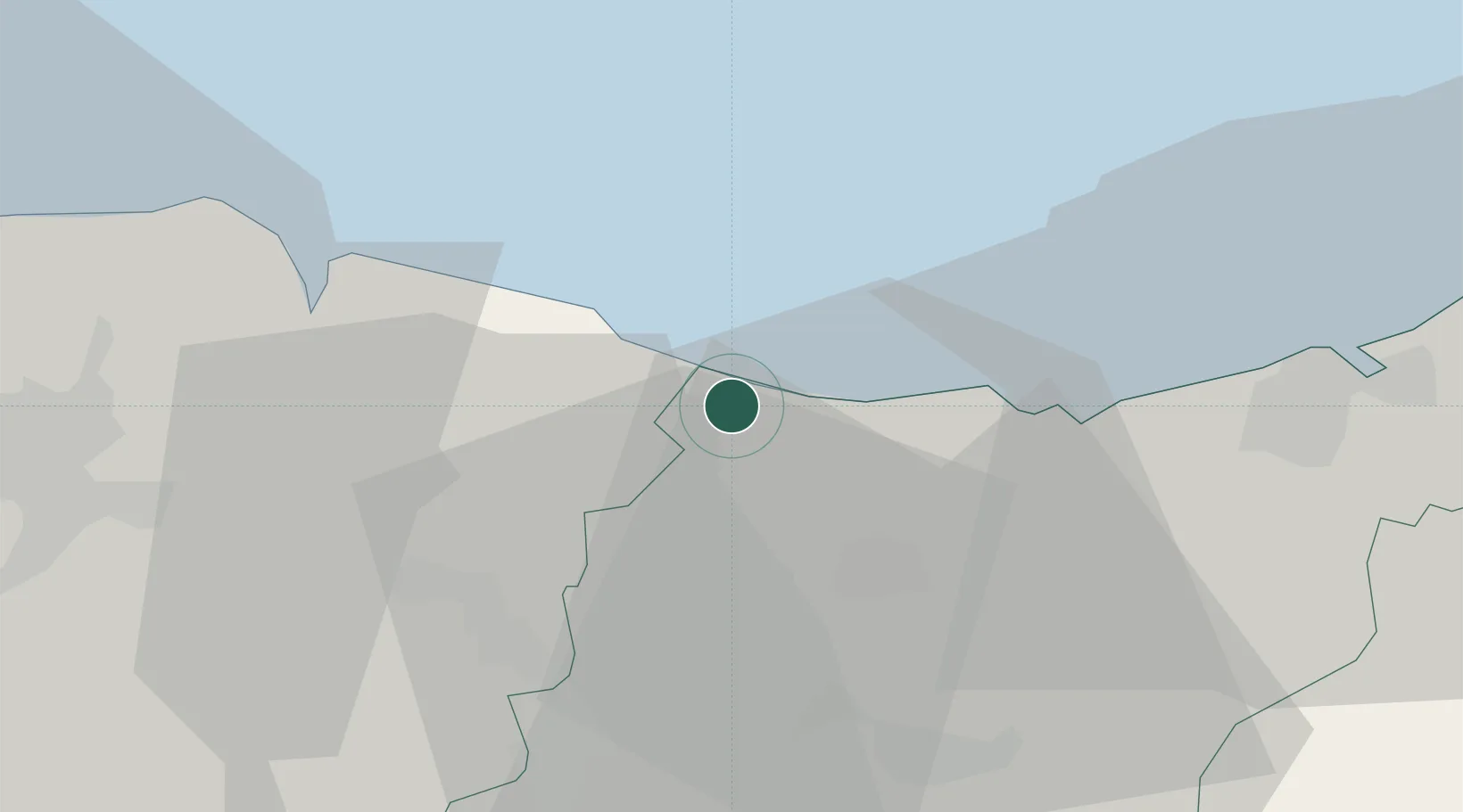
Nearby Logistics Neighbours

Cities
  1. 1Deba3 km
  2. 2Ondárroa3 km
  3. 3Itziar7 km
  4. 4Markina Xemein9 km
  5. 5Getaria15 km
Nearest neighbours — logibook spatial index (haversine) over the source coordinates
Ports
  1. 1Bermeo30 km
  2. 2Puerto De Pasajes37 km
  3. 3Puerto De Bilbao54 km
  4. 4Bayonne77 km
  5. 5Santander115 km
Nearest neighbours — logibook spatial index (haversine) over the source coordinates
Airports
  1. 1Bilbao Airport43 km
  2. 2San Sebastián Airport48 km
  3. 3Vitoria Airport54 km
  4. 4Biarritz Pays Basque airport72 km
  5. 5Pamplona Airport84 km
Nearest neighbours — logibook spatial index (haversine) over the source coordinates
Trade Zones
  1. 1Depósito Franco de Pasajes (Guipúzcoa)38 km
  2. 2Depósito Franco de Bilbao53 km
  3. 3Zona Franca de Santander117 km
  4. 4Depósito Franco de Villafría (Burgos)151 km
  5. 5ZFU Hauts de Garonne223 km
Nearest neighbours — logibook spatial index (haversine) over the source coordinates
DatabookThe Record of Consolidated Knowledge
Spain beyond logistics?
Browse databook

All Sources

LocationsUN/LOCODE
UN/LOCODE — free
Portsthe NGA World Port Index
Public domain (US gov)
AirportsOurAirports
Public domain
Trade Zonesthe World Bank SEZ database
CC BY 4.0
Trade ZonesOpen Zone Map
CC BY
← Spain locations