Transport Functions
Port
Rail
Road
Hub Profile
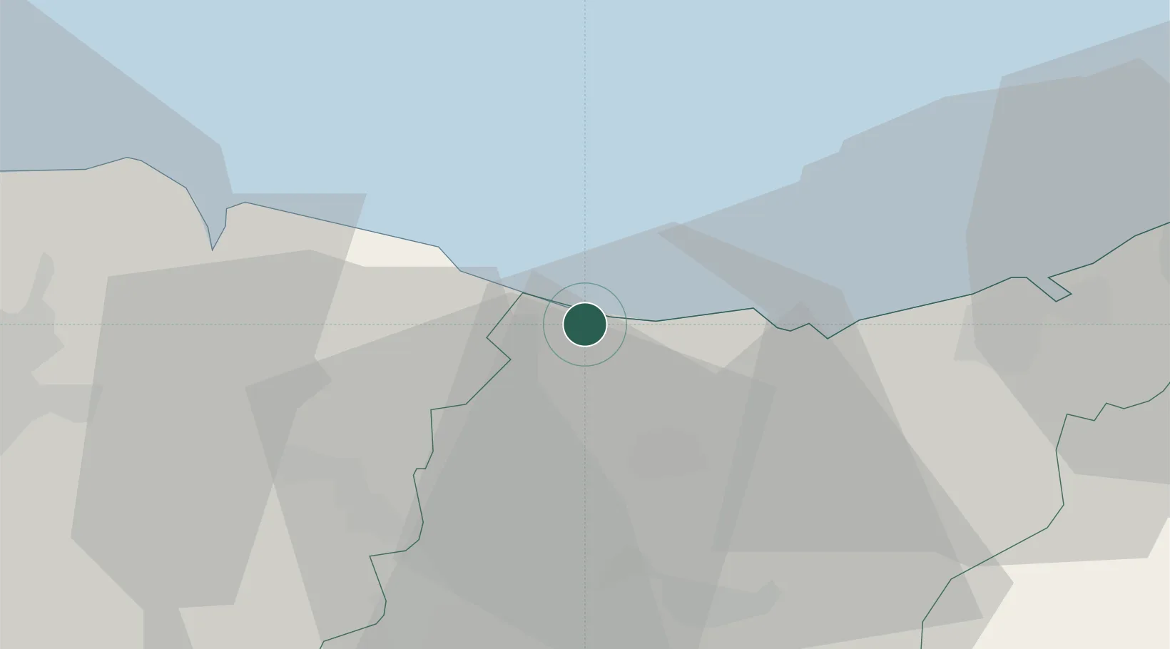
Place type
District seat
Region
Basque Country
Population
5,253
Time zone
Europe/Madrid
Elevation
9 m
Location
Nearby Logistics Neighbours
Cities
- 1Motrico (Mutriku)3 km
- 2Itziar5 km
- 3Ondárroa6 km
- 4Markina Xemein11 km
- 5Getaria12 km
Ports
- 1Bermeo32 km
- 2Puerto De Pasajes34 km
- 3Puerto De Bilbao57 km
- 4Bayonne75 km
- 5Santander117 km
Airports
- 1Bilbao Airport45 km
- 2San Sebastián Airport46 km
- 3Vitoria Airport56 km
- 4Biarritz Pays Basque airport69 km
- 5Pamplona Airport82 km
Trade Zones
DatabookThe Record of Consolidated Knowledge
Spain beyond logistics?