Transport Functions
Rail
Road
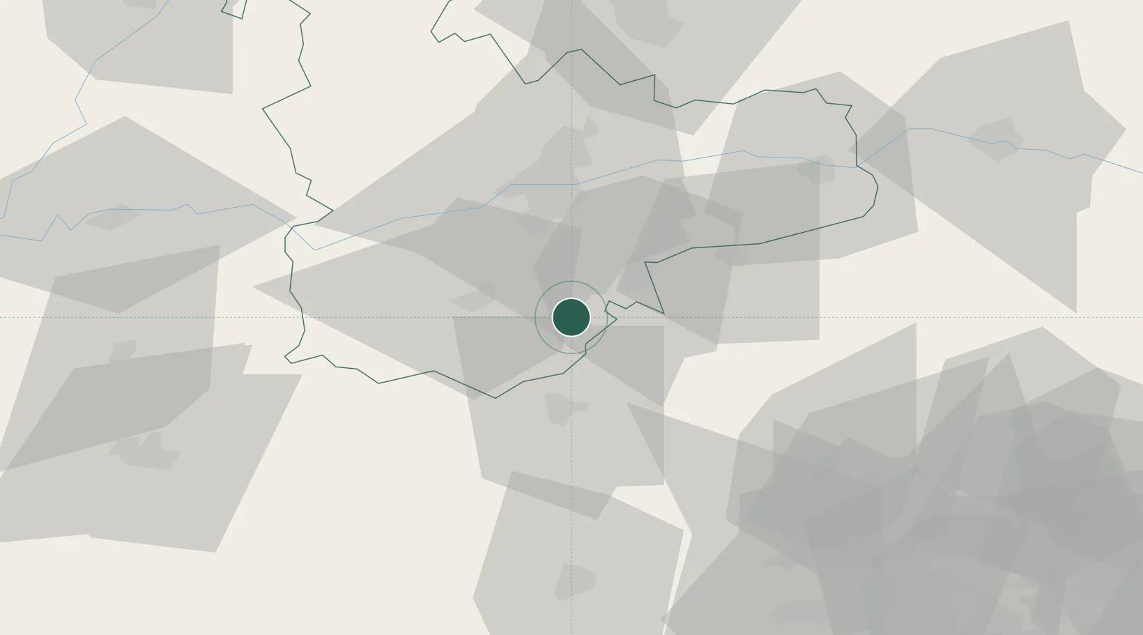
Hub Profile
Place type
District seat
Region
Castille and León
Population
3,570
Time zone
Europe/Madrid
Elevation
767 m
Location
Nearby Logistics Neighbours
Cities
- 1Puras12 km
- 2Pozal de Gallinas13 km
- 3Ataquines15 km
- 4Medina del Campo20 km
- 5La Seca23 km
Ports
- 1Santander254 km
- 2Gijon265 km
- 3Puerto De Bilbao266 km
- 4Aviles277 km
- 5Bermeo287 km
Airports
Trade Zones
DatabookThe Record of Consolidated Knowledge
Spain beyond logistics?