Transport Functions
Multimodal
Hub Profile
Place type
Populated place
Region
Castille and León
Population
1,075
Time zone
Europe/Madrid
Elevation
735 m
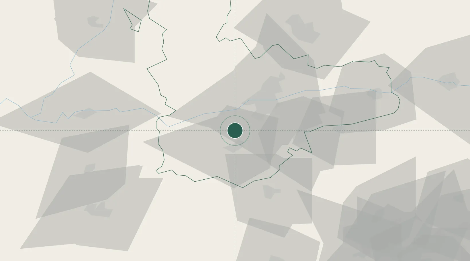
Location
Nearby Logistics Neighbours
Cities
- 1Rueda4 km
- 2Pozal de Gallinas12 km
- 3Medina del Campo13 km
- 4Boecillo21 km
- 5Olmedo23 km
Ports
- 1Gijon245 km
- 2Santander246 km
- 3Aviles257 km
- 4Puerto De Bilbao263 km
- 5Bermeo286 km
Airports
- 1Valladolid Airport32 km
- 2Salamanca Airport72 km
- 3León Int'l Airport145 km
- 4Burgos Airport149 km
- 5Madrid-Cuatro Vientos Airport149 km
Trade Zones
DatabookThe Record of Consolidated Knowledge
Spain beyond logistics?