Transport Functions
Multimodal
Hub Profile
Place type
Populated place
Region
Castille and León
Time zone
Europe/Madrid
Elevation
825 m
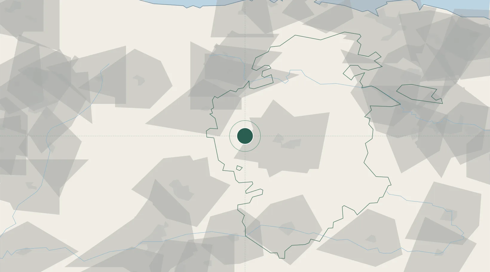
Location
Nearby Logistics Neighbours
Cities
- 1Villadiego13 km
- 2Melgar de Fernamental18 km
- 3Lodoso18 km
- 4Vizmalo27 km
- 5Cardenadijo32 km
Ports
- 1Santander120 km
- 2Puerto De Bilbao133 km
- 3Bermeo156 km
- 4Gijon184 km
- 5Puerto De Pasajes200 km
Airports
- 1Burgos Airport34 km
- 2Valladolid Airport103 km
- 3Seve Ballesteros-Santander Airport116 km
- 4Vitoria Airport120 km
- 5León Int'l Airport135 km
Trade Zones
DatabookThe Record of Consolidated Knowledge
Spain beyond logistics?