UN/LOCODE hub · Spain
ESMFE

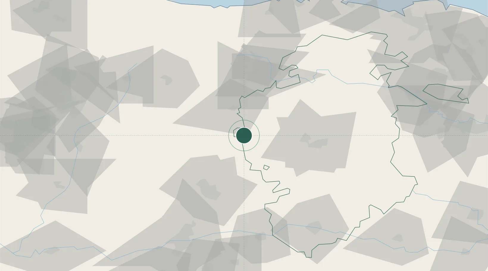
Melgar de Fernamental

42.4000°, -4.2500°
1,932
Population
1
Transport functions

Transport Functions

Multimodal
UN/LOCODE

Hub Profile

Place type
District seat
GeoNames
Region
Castille and León
GeoNames
Population
1,932
GeoNames
Time zone
Europe/Madrid
GeoNames
Elevation
804 m
GeoNames

Location

Location of ESMFE
Natural Earth 10m (public domain) · Castille and León · ESMFE · 42.40, -4.25GoogleOSMYandex

Nearby Logistics Neighbours

Cities
  1. 1Olmillos de Sasamon18 km
  2. 2Villadiego24 km
  3. 3Vizmalo29 km
  4. 4Lodoso36 km
  5. 5Becerril de Campos45 km
Nearest neighbours — logibook spatial index (haversine) over the source coordinates
Ports
  1. 1Santander125 km
  2. 2Puerto De Bilbao144 km
  3. 3Bermeo168 km
  4. 4Gijon172 km
  5. 5Aviles191 km
Nearest neighbours — logibook spatial index (haversine) over the source coordinates
Airports
  1. 1Burgos Airport52 km
  2. 2Valladolid Airport92 km
  3. 3León Int'l Airport117 km
  4. 4Seve Ballesteros-Santander Airport120 km
  5. 5Vitoria Airport136 km
Nearest neighbours — logibook spatial index (haversine) over the source coordinates
Trade Zones
  1. 1Depósito Franco de Villafría (Burgos)43 km
  2. 2Zona Franca de Santander122 km
  3. 3Depósito Franco de Bilbao143 km
  4. 4Depósito Franco de Gijón175 km
  5. 5Depósito Franco de Pasajes (Guipúzcoa)216 km
Nearest neighbours — logibook spatial index (haversine) over the source coordinates
DatabookThe Record of Consolidated Knowledge
Spain beyond logistics?
Browse databook

All Sources

LocationsUN/LOCODE
UN/LOCODE — free
LocationsGeoNames
CC BY 4.0
Portsthe NGA World Port Index
Public domain (US gov)
AirportsOurAirports
Public domain
Trade Zonesthe World Bank SEZ database
CC BY 4.0
Trade ZonesOpen Zone Map
CC BY
← Spain locations