Transport Functions
Rail
Road
Airport
Hub Profile
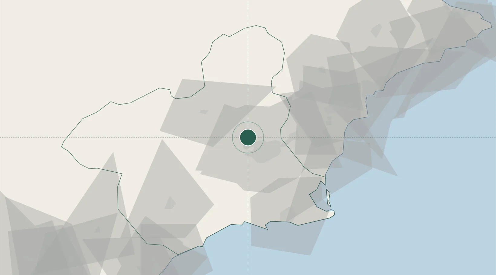
Place type
Regional capital
Region
Murcia
Population
471,982
Time zone
Europe/Madrid
Elevation
53 m
Logistics facilities
2
Location
Nearby Logistics Neighbours
Cities
- 1Las Torres de Cotillas6 km
- 2Sangonera la Seca13 km
- 3Nonduermas15 km
- 4Aljucer16 km
- 5Santo Angel19 km
Ports
- 1Torrevieja49 km
- 2Cartagena59 km
- 3Alicante70 km
- 4Aguilas82 km
- 5Puerto De Garrucha113 km
Airports
Trade Zones
DatabookThe Record of Consolidated Knowledge
Spain beyond logistics?